Morning Miami Weather Report
Miami, October 13 — Sunny
Automated weather summary from official sources; factual templates with validated source timestamps. Follow NWS Miami and NHC for current guidance.
Late report: current weather data were collected at the publication time below, rather than early this morning.
Forecast for Miami / Brickell
Today: 87°F. Sunny. Wind 12 to 15 mph NE. Rain chance: 6%.
Sunny, with a high near 87. Northeast wind 12 to 15 mph, with gusts as high as 18 mph.
Tonight: Mostly clear, with a low around 79. Northeast wind 10 to 15 mph, with gusts as high as 18 mph.
Hourly forecast — rain chances and timing
| Eastern time | Temperature | Rain chance | Wind | Forecast |
|---|---|---|---|---|
| Oct 13, 2026 · 10:00 AM EDT | 82°F | 3% | 13 mph N | Sunny |
| Oct 13, 2026 · 11:00 AM EDT | 83°F | 3% | 13 mph N | Sunny |
| Oct 13, 2026 · 12:00 PM EDT | 84°F | 3% | 13 mph NE | Sunny |
| Oct 13, 2026 · 1:00 PM EDT | 85°F | 3% | 13 mph NE | Sunny |
| Oct 13, 2026 · 2:00 PM EDT | 85°F | 2% | 13 mph NE | Sunny |
| Oct 13, 2026 · 3:00 PM EDT | 85°F | 2% | 14 mph NE | Sunny |
| Oct 13, 2026 · 4:00 PM EDT | 86°F | 2% | 15 mph NE | Sunny |
| Oct 13, 2026 · 5:00 PM EDT | 85°F | 2% | 15 mph NE | Sunny |
| Oct 13, 2026 · 6:00 PM EDT | 85°F | 1% | 15 mph NE | Clear |
| Oct 13, 2026 · 7:00 PM EDT | 84°F | 1% | 15 mph NE | Clear |
| Oct 13, 2026 · 8:00 PM EDT | 82°F | 2% | 14 mph NE | Clear |
| Oct 13, 2026 · 9:00 PM EDT | 82°F | 4% | 14 mph NE | Mostly Clear |
| Oct 13, 2026 · 10:00 PM EDT | 82°F | 5% | 14 mph NE | Mostly Clear |
| Oct 13, 2026 · 11:00 PM EDT | 82°F | 7% | 13 mph NE | Mostly Clear |
Observed nearby
Miami International Airport (KMIA), Oct 13, 2026 · 10:40 AM EDT: Mostly Clear. Temperature 84°F; wind 9 mph. This airport observation does not measure conditions at your exact location in Brickell.
Alerts and outdoor plans
Miami / Brickell: no active alerts returned by the official query at collection time. This is not a statement that conditions are safe.
Biscayne Bay and the Miami-Dade coast: no active alerts returned by the official query at collection time. This is not a statement that conditions are safe.
Running: Use the temperature, rain and wind forecast above to plan your window. If thunderstorms are forecast or you hear thunder, postpone outdoor activity and seek a substantial building. This briefing does not certify a safe running window.
Paddleboarding — official Biscayne Bay forecast
Today: NE winds 10 to 15 kt (17 mph). A moderate chop.
Tonight: NE winds 10 to 15 kt (17 mph). A moderate chop.
Wed: NE winds 10 to 15 kt (17 mph). A moderate chop. A chance of showers and tstms in the afternoon.
Wind speeds in the source use knots (1 knot = 1.151 mph). Check current marine alerts and local conditions before launching; no safe launch window is inferred.
Official coastal Miami-Dade beach and rip-current guidance
FLZ173-132200-
Coastal Miami-Dade-
Including the beaches of Miami
416 AM EDT Tue Oct 13 2026

.TODAY...
Rip Current Risk*...........Low.
Surf Height.................1 to 2 feet.
Thunderstorm Potential**....None.
Waterspout Risk**...........None.
UV Index**..................Very High.
Water Temperature...........In the upper 80s.
Weather.....................Sunny.
High Temperature............In the upper 80s.
Winds.......................Northeast winds around 10 mph.
Tides...
   Miami Harbor Entrance....High at 11:03 AM EDT.
                            Low at 04:48 PM EDT.
Sunrise.....................7:18 AM.
Sunset......................6:56 PM.

.WEDNESDAY...
Rip Current Risk*...........Low.
Surf Height.................1 to 2 feet.
Thunderstorm Potential**....Low.
Waterspout Risk**...........None.
Weather.....................Sunny. A slight chance of showers and
                            thunderstorms.
High Temperature............In the upper 80s.
Winds.......................Northeast winds 10 to 15 mph.
Tides...
   Miami Harbor Entrance....High at 11:43 AM EDT.
                            Low at 05:28 PM EDT.
Sunrise.....................7:19 AM.
Sunset......................6:55 PM.

&&

Rip Current Risk Category
* Low Risk - The risk for rip currents is low, however,
life-threatening rip currents often occur in the vicinity of groins,
jetties, reefs, and piers.
* Moderate Risk - Life-threatening rip currents are possible in the
surf zone.
* High Risk - Life-threatening rip currents are likely in the surf
zone.

** For thunderstorm, waterspout, and UV definitions see:
https://www.weather.gov/beach/mfl
Satellite and radar
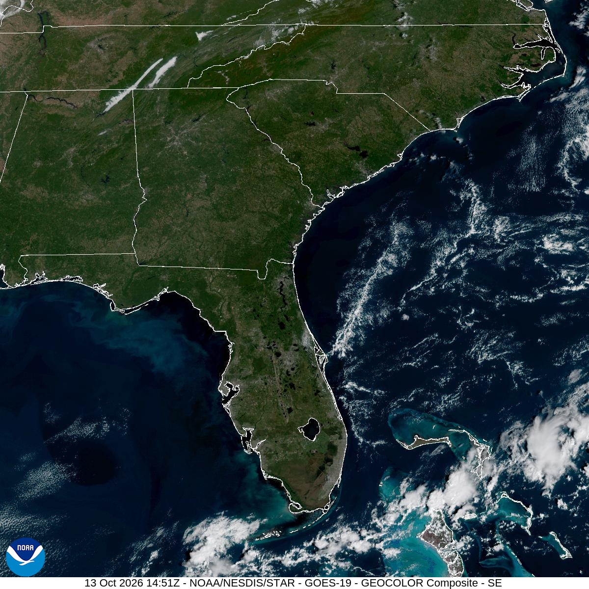
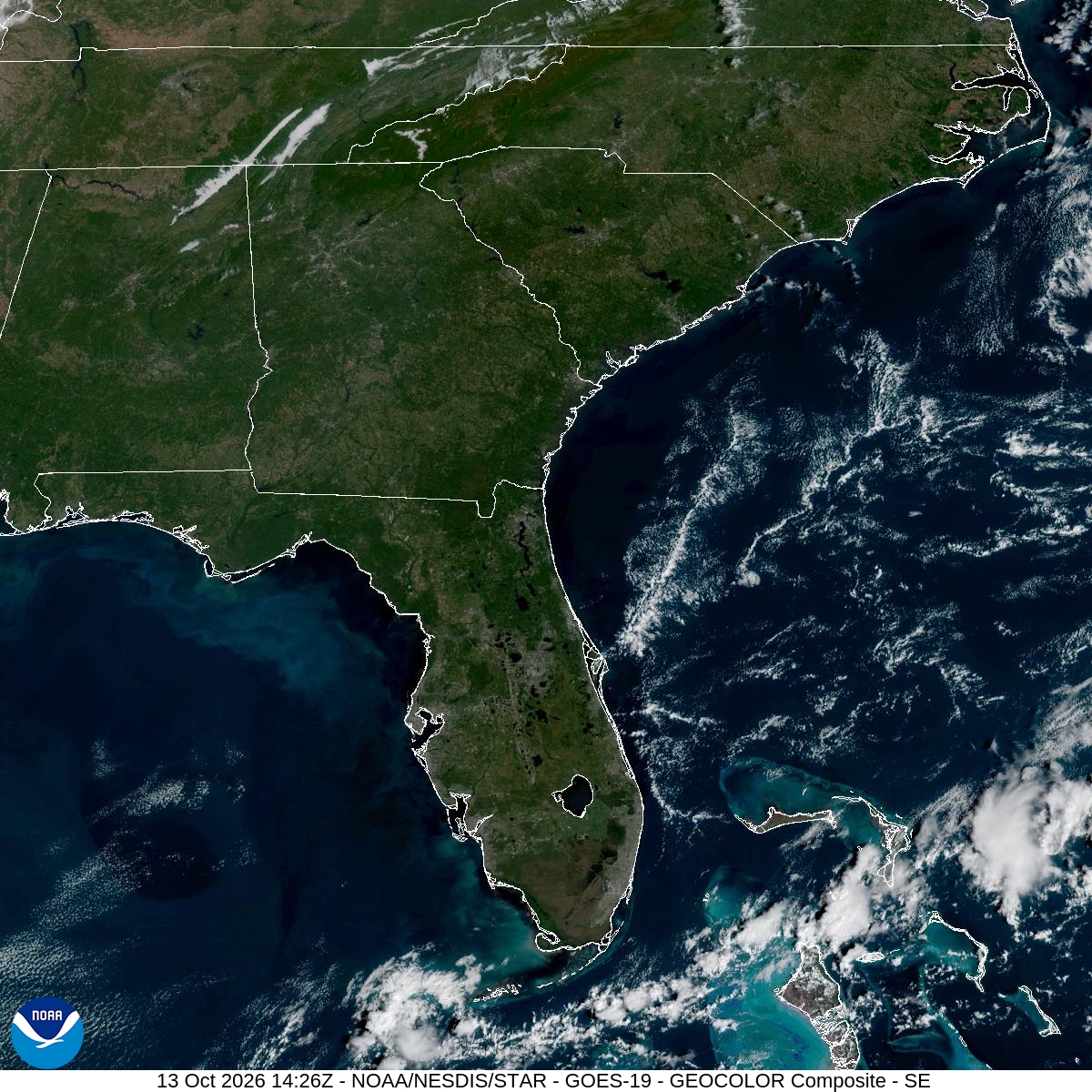
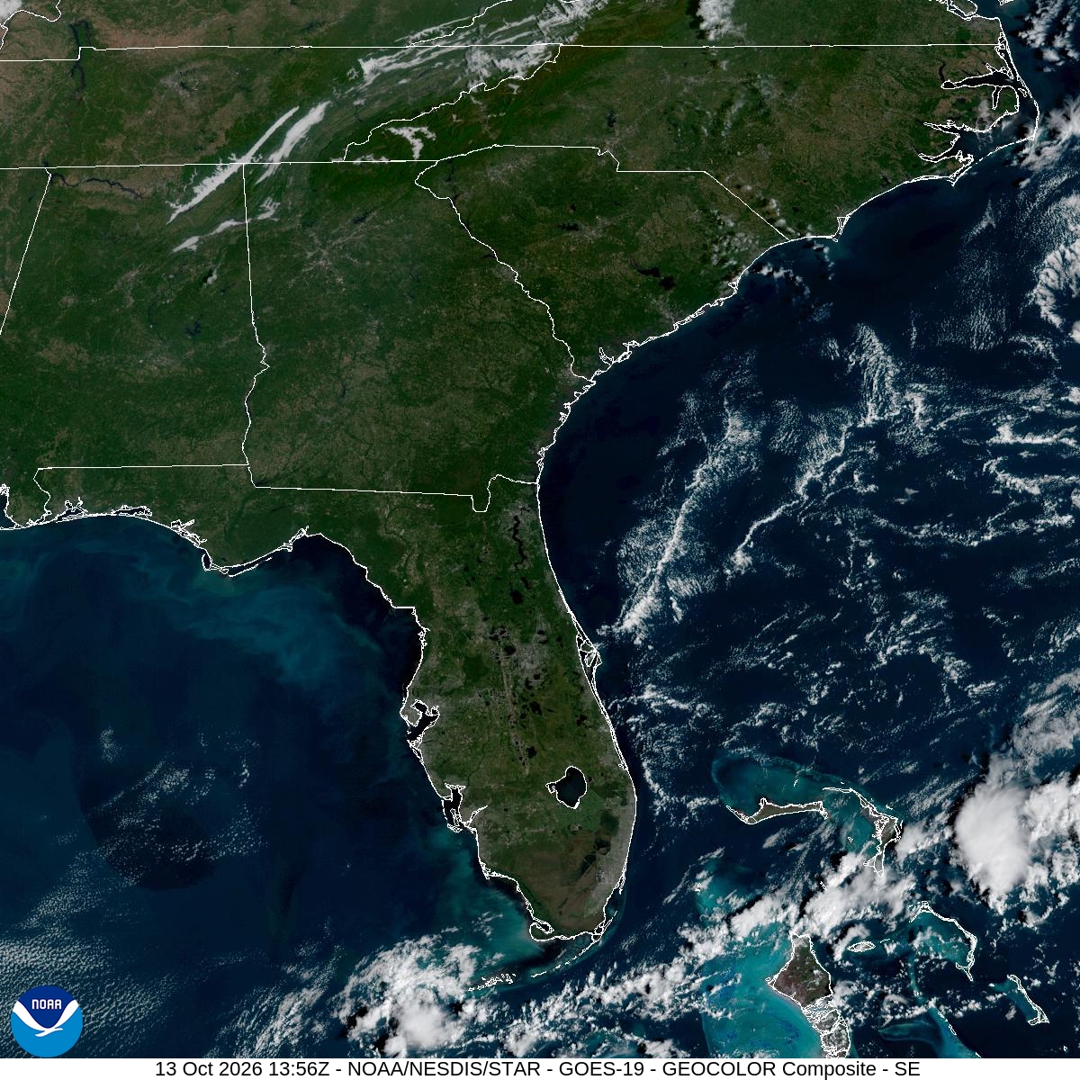
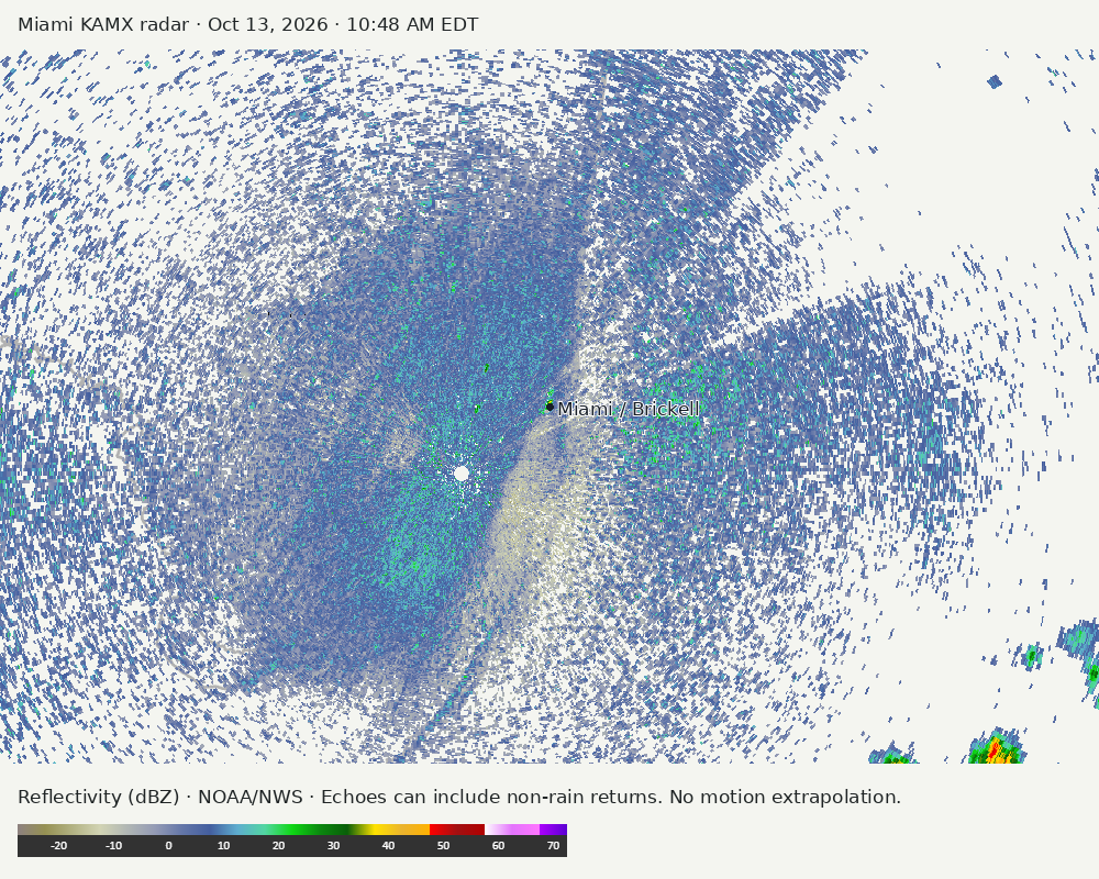
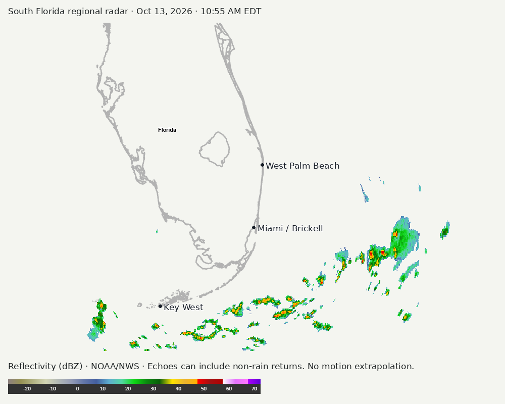
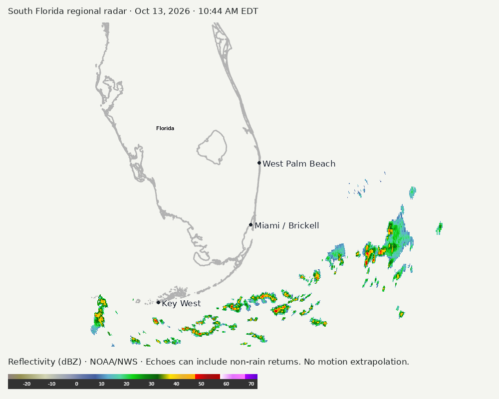
Archived frames show what the instruments captured at their labeled times. Radar echoes can include non-rain returns. No movement or future arrival is inferred automatically from these frames.
Southeast GeoColor satellite
GeoColor shows the Southeast, including Florida. The timestamped sequence below preserves cloud detail without automatically interpreting cloud cover at street level.

Earlier timestamped frames


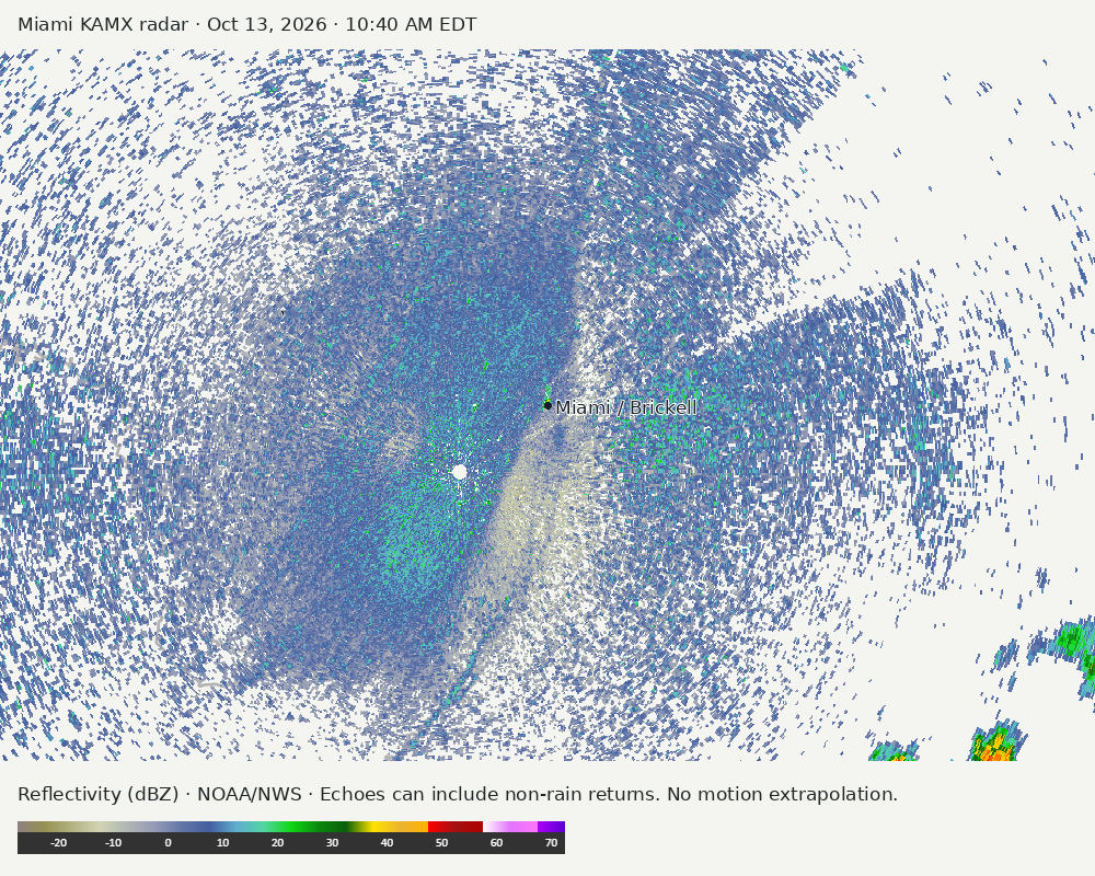
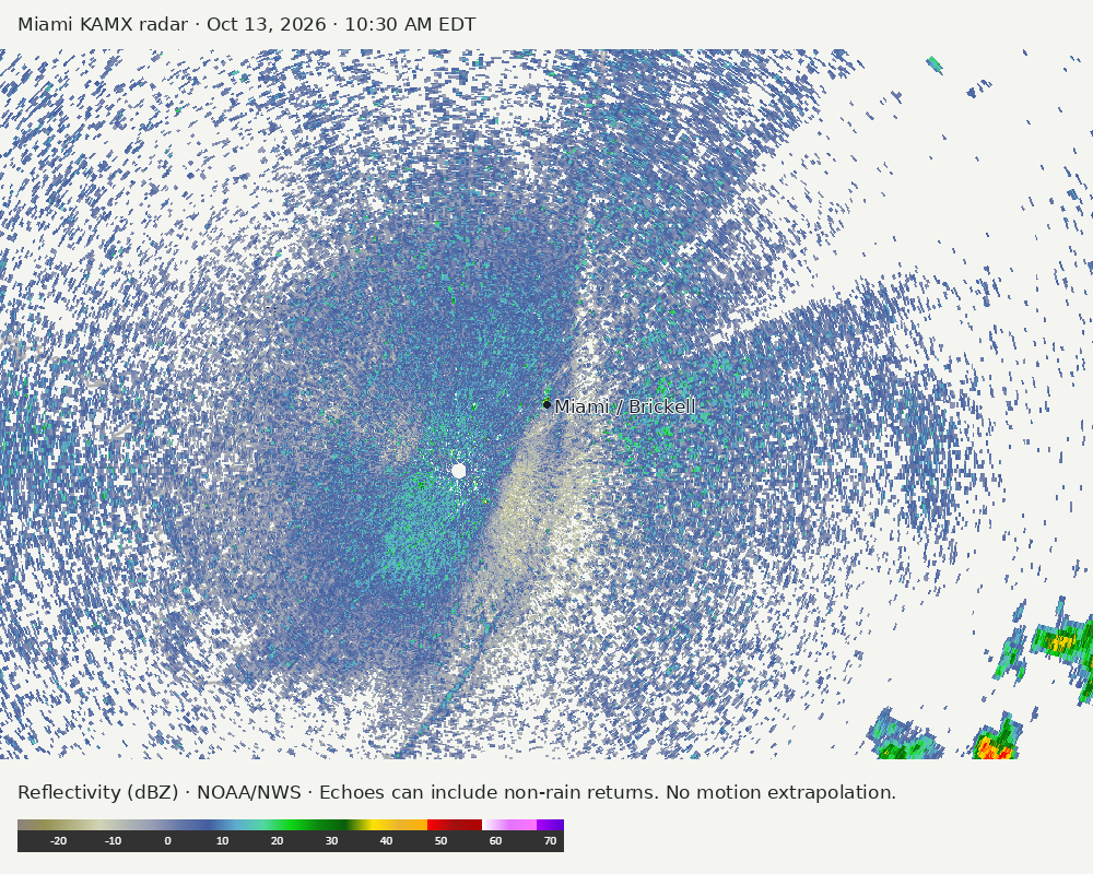
Detailed Miami radar — official KAMX fallback
The automatic echo-location check could not assign a reliable region. Inspect the image; this does not mean conditions are clear.
Earlier timestamped frames
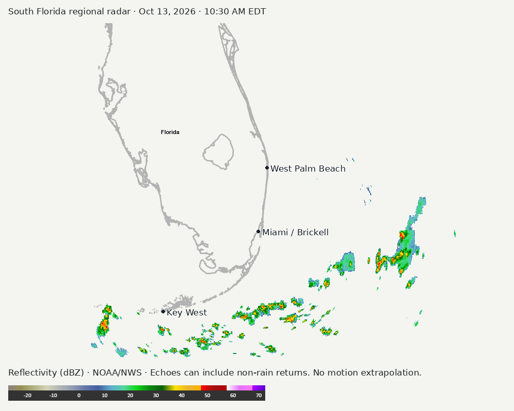
Regional South Florida radar
Colored reflectivity echoes are concentrated east of Miami, southwest of Miami, south of Miami relative to Miami in the latest frame. These are echo locations, not confirmation of rain at the surface.
Earlier timestamped frames
Tropical outlook
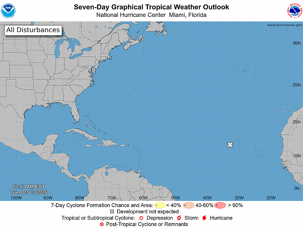
The Atlantic outlook describes development potential, not a forecast of impacts in Miami. No local hurricane impact is inferred here.
Read official source text
000
ABNT20 KNHC 131117
TWOAT

Tropical Weather Outlook
NWS National Hurricane Center Miami FL
800 AM EDT Tue Oct 13 2026

For the North Atlantic...Caribbean Sea and the Gulf of America:

Eastern Tropical Atlantic:
A low pressure trough located several hundred miles west-northwest
of the Cabo Verde Islands continues to produce a large area of
disorganized showers and thunderstorms. Further development of this
system is no longer expected as the low moves slowly northward to
north-northwestward within an area of strong upper-level winds.
* Formation chance through 48 hours...low...near 0 percent.
* Formation chance through 7 days...low...near 0 percent.

$$
Forecaster Hagen
Miami forecast discussion
Read official source text
000
FXUS62 KMFL 131058
AFDMFL

Area Forecast Discussion
National Weather Service Miami FL
658 AM EDT Tue Oct 13 2026

...New AVIATION...

.KEY MESSAGES...
Updated at 655 AM EDT Tue Oct 13 2026

 - Breezy northeasterly winds will prevail across South Florida
   today as a dry airmass remains in place.

 - Moisture returns mid-week, bringing higher apparent
   temperatures and elevated rain chances in the forecast for
   Thursday and Friday.

 - The evolution of a frontal boundary will dictate our local
   weather this upcoming weekend. Uncertainty remains high at
   this time but a period of windy and wet conditions is possible.

&&

.SHORT TERM...
(Today through Wednesday)
Issued at 335 AM EDT Tue Oct 13 2026

07z surface analysis depicts the establishment of light peninsular
drainage flow across South Florida early this morning as a dry
continental airmass continues to gradually filter in across the
region. In fact, HYSPLIT backward trajectories trace the airmass in
place across South Florida today back to the southwestern United
States over a week and a half ago. A true welcome reprieve from the
moisture and humidity that has persisted across our region over the
past several days. Dewpoints are running about 5-10 degrees lower
than at this time last night and are expected to drop a few more
degrees before daybreak. Away from the coast and underneath clear
skies, these lower dewpoint values will allow for efficient
radiational cooling. A few isolated locales could even dip into the
upper 50s to low 60s at daybreak across inland southwestern Florida
as winds decouple underneath a nocturnal near-surface inversion. For
the vast majority of us however, wake-up temps will remain in the
low to mid 70s. 07z mesoanalysis this morning also reveals a very
sharp precipitable water gradient across South Florida as drier air
continues to push southward across the region. In fact, observed
values upstream are in line with prior deterministic and ensemble
guidance that forecasted precipitable water values across South
Florida below the 10% percentile for this time of year. While rain
chances will remain minimal (<10%) today, overnight mesoscale model
guidance (HRRR,RRFS,etc) continues to hint at the potential of
isolated shallow convection (sprinkles) pushing onshore along the
east coast late this afternoon into tonight. Even in (all things
considered) a very dry weather regime, never count out breezy
northeasterly flow above the warm Gulfstream waters producing an
isolated coastal sprinkle or two. No significant temperature change
is expected today (forecast highs have held steady in the upper 80s
to low 90s) but there will be a noticeable change in the air as
dewpoints remain in the upper 60s to low 70s all day. With the
humidity out of the air for the time being, peak apparent
temperature values this afternoon will only reach the low to mid 90s
(compared to persistent values in the upper 90s to low 100s over the
last several days). I know it may be difficult to contain your
excitement after learning this latest factoid, but we must take our
weather wins when we can.

The advertised reprieve from moisture will be a short lived one as
the frontolytic boundary and envelope of associated moisture lift
back across the region during the day on Wednesday as an expansive
area of surface high pressure becomes established across the
southeastern United States. Mid-level ridging will also build across
the southeastern United States on Wednesday, keeping the region
devoid of any frontal systems. Wednesday still appears to be, very
much so a transition day between the current dry airmass in place
across South Florida and continued moisture advection later in the
week. Breezy northeasterly flow and increasing moisture will support
the potential of quick moving shower activity, still vertically
capped due to residual dry air aloft. The latest forecast continues
to depict 20-40% rain chances across the southeastern half of the
region on Wednesday afternoon. Forecast high temperatures range from
the upper 80s along the east coast to values in the low 90s across
southwestern Florida.

&&

.LONG TERM...
(Wednesday night through Monday)
Issued at 335 AM EDT Tue Oct 13 2026

Northeasterly surface flow will gradually veer to an easterly
direction by Thursday as the axis of surface ridging across the
southeastern United States slides eastward into the western Atlantic
waters. This will focus the best diurnal rain chances across the
western half of the peninsula during the second half of the work
week, although overnight and morning activity will still be a
possibility along the east coast of South Florida given the breezy
easterly flow and continued moisture advection. Mid-level ridging
briefly established across the southeastern United States during the
early to mid portion of the work week will quickly flatten by
Thursday as the next lobe of troughing slides eastward across the
northern United States. As the positively tilted trough amplifies
and digs across the eastern United States, a strengthening surface
low will strengthen and push east-northeastward in tandem. Model
guidance remains in agreement that a surface frontal boundary
attached to the aforementioned surface low will push southwards
across the eastern United States in response and arrive in the
vicinity of the Florida Peninsula during the upcoming weekend. There
remains a great amount of variability/ uncertainty in model
solutions of exact frontal boundary placement) from run to run and
model member to model member (ensemble vs deterministic). Model
guidance has trended away from a full passage of the boundary across
the region and now depicts an initial stall of the boundary somewhere
across the Florida Peninsula.

The placement of the aforementioned frontal boundary in relation to
South Florida, surface high pressure axis to the north, and any
mesoscale coastal convergence will have a direct influence on
potential rainfall totals, wind gusts, and the severity of any
marine/coastal impacts across the region during the upcoming weekend
into next week. Forecasted precipitable water and low level RH
values (via forecast soundings) during this time period appear to
approach the daily max for this time of year, indicative of an
airmass that is saturated in the low level boundary layer. 500mb
temperatures are also forecast to be on the warmer side which may
support an expansive warm cloud layer. Outside of the heavy rain,
guidance has also been consistent in showing the enhancement of a
pressure gradient across the western Atlantic and South Florida.
This would act to increase wind speeds across the area, resulting in
gusty conditions and potential marine and coastal impacts. The
forecast remains highly uncertain and fluid, stay tuned for a
clearer idea of what may happen as we progress through the
remainder of the work week. Forecast high temperatures will remain
status quo through the end of the work week with values in the upper
80s to low 90s possible each afternoon. Apparent temperatures will
also rebound with increased moisture, reaching the upper 90s to low
100s on Thursday and Friday. An increase in wind and rain chances
may keep ambient and apparent temperatures lower beginning during
the upcoming weekend.

&&

.AVIATION...
(12Z TAFS)
Issued at 655 AM EDT Tue Oct 13 2026

Light and variable wind flow will prevail through the early AM
before surface winds veer to a northeasterly direction along the
east coast. VFR and dry conditions are expected for the remainder
of the TAF period.


&&

.MARINE...
Issued at 335 AM EDT Tue Oct 13 2026

Breezy northeasterly winds will prevail across the local waters of
South Florida today. Small Craft Exercise Caution (SCEC) conditions
could be realized at times across the Atlantic and Gulf waters
through Wednesday night as winds enhance and lessen with
nocturnal/diurnal cycles. Waves will remain 2-3 feet across the
region through early Thursday with the caveat that locally higher
waves and winds are possible in and around any shower or
thunderstorm activity beginning on Wednesday.

&&

.PRELIMINARY POINT TEMPS/POPS...
Miami            89  76  88  78 /   0  10  30  20
West Kendall     89  75  88  77 /   0  10  30  20
Opa-Locka        89  76  88  78 /   0  10  20  20
Homestead        88  76  88  78 /   0  10  40  30
Fort Lauderdale  88  76  87  78 /   0  10  20  30
N Ft Lauderdale  88  77  88  78 /   0  10  20  30
Pembroke Pines   89  75  88  78 /   0  10  20  20
West Palm Beach  87  75  88  77 /  10  10  10  30
Boca Raton       87  76  88  78 /  10  10  20  30
Naples           89  72  90  73 /   0   0  10   0

&&

.MFL WATCHES/WARNINGS/ADVISORIES...
FL...None.
AM...None.
GM...None.
&&

$$

SHORT TERM...Hadi
LONG TERM....Hadi
AVIATION...Rizzuto
Sources and freshness
Supplementary failures do not replace missing data with reassuring conclusions. All source times below are Eastern; source metadata and original downloads are archived with this report.
Alerts · available
Source. Retrieved Oct 13, 2026 · 10:58 AM EDT.
Beach · available
Source. Retrieved Oct 13, 2026 · 10:58 AM EDT. Issued Oct 13, 2026 · 4:16 AM EDT.
Coastal Alerts · available
Source. Retrieved Oct 13, 2026 · 10:58 AM EDT.
Discussion · available
Source. Retrieved Oct 13, 2026 · 10:58 AM EDT. Issued Oct 13, 2026 · 6:58 AM EDT.
Forecast · available
Source. Retrieved Oct 13, 2026 · 10:58 AM EDT. Issued Oct 13, 2026 · 4:11 AM EDT.
Hourly · available
Source. Retrieved Oct 13, 2026 · 10:58 AM EDT. Issued Oct 13, 2026 · 4:11 AM EDT.
Local Radar · available
Source. Retrieved Oct 13, 2026 · 10:58 AM EDT. Issued Oct 13, 2026 · 10:48 AM EDT.
Marine · available
Source. Retrieved Oct 13, 2026 · 10:58 AM EDT. Issued Oct 13, 2026 · 3:56 AM EDT.
Mcnoldy · unavailable
Source. Retrieved Oct 13, 2026 · 10:58 AM EDT. URLError: transport or certificate failure
Nhc · available
Source. Retrieved Oct 13, 2026 · 10:58 AM EDT. Issued Oct 13, 2026 · 7:18 AM EDT.
Observation · available
Source. Retrieved Oct 13, 2026 · 10:58 AM EDT. Issued Oct 13, 2026 · 10:40 AM EDT.
Regional Radar · available
Source. Retrieved Oct 13, 2026 · 10:58 AM EDT. Issued Oct 13, 2026 · 10:55 AM EDT.
Satellite · available
Source. Retrieved Oct 13, 2026 · 10:58 AM EDT. Issued Oct 13, 2026 · 10:51 AM EDT.
Tropical Tidbits · link-only
Source. Retrieved Oct 13, 2026 · 10:58 AM EDT. Optional context only. Imagery is not copied: Tropical Tidbits reserves reuse rights.