Morning Miami Weather Report
Miami, October 14 — Slight Chance Showers And Thunderstorms
Automated weather summary from official sources; factual templates with validated source timestamps. Follow NWS Miami and NHC for current guidance.
Forecast for Miami / Brickell
Wednesday: 87°F. Slight Chance Showers And Thunderstorms. Wind 12 to 16 mph NE. Rain chance: 30%.
A slight chance of showers and thunderstorms between 11am and 5pm, then a chance of showers and thunderstorms. Sunny, with a high near 87. Northeast wind 12 to 16 mph, with gusts as high as 22 mph. Chance of precipitation is 30%.
Overnight: Mostly clear, with a low around 79. Northeast wind around 12 mph.
Wednesday Night: A chance of showers and thunderstorms before 8pm, then a chance of showers and thunderstorms between 8pm and 2am, then a chance of showers and thunderstorms. Mostly clear, with a low around 81. East wind 10 to 16 mph, with gusts as high as 20 mph. Chance of precipitation is 50%. New rainfall amounts less than a tenth of an inch possible.
Hourly forecast — rain chances and timing
| Eastern time | Temperature | Rain chance | Wind | Forecast |
|---|---|---|---|---|
| Oct 14, 2026 · 5:00 AM EDT | 81°F | 11% | 12 mph NE | Mostly Clear |
| Oct 14, 2026 · 6:00 AM EDT | 81°F | 12% | 12 mph NE | Sunny |
| Oct 14, 2026 · 7:00 AM EDT | 80°F | 11% | 12 mph NE | Sunny |
| Oct 14, 2026 · 8:00 AM EDT | 81°F | 14% | 13 mph NE | Sunny |
| Oct 14, 2026 · 9:00 AM EDT | 82°F | 12% | 13 mph NE | Sunny |
| Oct 14, 2026 · 10:00 AM EDT | 84°F | 12% | 14 mph NE | Sunny |
| Oct 14, 2026 · 11:00 AM EDT | 84°F | 18% | 14 mph NE | Slight Chance Showers And Thunderstorms |
| Oct 14, 2026 · 12:00 PM EDT | 84°F | 20% | 14 mph NE | Slight Chance Showers And Thunderstorms |
| Oct 14, 2026 · 1:00 PM EDT | 84°F | 21% | 15 mph NE | Slight Chance Showers And Thunderstorms |
| Oct 14, 2026 · 2:00 PM EDT | 85°F | 20% | 15 mph E | Slight Chance Showers And Thunderstorms |
| Oct 14, 2026 · 3:00 PM EDT | 85°F | 23% | 16 mph NE | Slight Chance Showers And Thunderstorms |
| Oct 14, 2026 · 4:00 PM EDT | 85°F | 22% | 16 mph NE | Slight Chance Showers And Thunderstorms |
| Oct 14, 2026 · 5:00 PM EDT | 86°F | 30% | 16 mph NE | Chance Showers And Thunderstorms |
| Oct 14, 2026 · 6:00 PM EDT | 85°F | 26% | 16 mph NE | Chance Showers And Thunderstorms |
| Oct 14, 2026 · 7:00 PM EDT | 84°F | 25% | 15 mph NE | Chance Showers And Thunderstorms |
| Oct 14, 2026 · 8:00 PM EDT | 84°F | 28% | 14 mph NE | Chance Showers And Thunderstorms |
| Oct 14, 2026 · 9:00 PM EDT | 83°F | 31% | 14 mph E | Chance Showers And Thunderstorms |
| Oct 14, 2026 · 10:00 PM EDT | 83°F | 33% | 14 mph E | Chance Showers And Thunderstorms |
Observed nearby
Miami International Airport (KMIA), Oct 14, 2026 · 5:30 AM EDT: Mostly Clear. Temperature 79°F; wind 5 mph. This airport observation does not measure conditions at your exact location in Brickell.
Alerts and outdoor plans
Miami / Brickell: no active alerts returned by the official query at collection time. This is not a statement that conditions are safe.
Biscayne Bay and the Miami-Dade coast: no active alerts returned by the official query at collection time. This is not a statement that conditions are safe.
Running: Use the temperature, rain and wind forecast above to plan your window. If thunderstorms are forecast or you hear thunder, postpone outdoor activity and seek a substantial building. This briefing does not certify a safe running window.
Paddleboarding — official Biscayne Bay forecast
Today: NE winds 10 to 15 kt (17 mph). A moderate chop. A chance of showers. A slight chance of tstms this morning, then a chance of tstms this afternoon.
Tonight: E winds 10 to 15 kt (17 mph). A moderate chop. A chance of showers.
Thu: E winds 5 to 10 kt (12 mph). Light chop. A chance of showers in the afternoon. A chance of tstms late.
Wind speeds in the source use knots (1 knot = 1.151 mph). Check current marine alerts and local conditions before launching; no safe launch window is inferred.
Official coastal Miami-Dade beach and rip-current guidance
FLZ173-142200-
Coastal Miami-Dade-
Including the beaches of Miami
441 AM EDT Wed Oct 14 2026

.TODAY...
Rip Current Risk*...........Low.
Surf Height.................1 to 2 feet.
Thunderstorm Potential**....Low.
Waterspout Risk**...........None.
UV Index**..................High.
Water Temperature...........In the mid 80s.
Weather.....................Sunny. A slight chance of showers and
                            thunderstorms.
High Temperature............In the upper 80s.
Winds.......................Northeast winds 10 to 15 mph.
Tides...
   Miami Harbor Entrance....High at 11:43 AM EDT.
                            Low at 05:28 PM EDT.
Sunrise.....................7:19 AM.
Sunset......................6:55 PM.

.THURSDAY...
Rip Current Risk*...........Low.
Surf Height.................1 to 2 feet.
Thunderstorm Potential**....Moderate.
Waterspout Risk**...........None.
Weather.....................Sunny. A chance of showers and
                            thunderstorms.
High Temperature............In the upper 80s.
Max Heat Index..............Up to 103.
Winds.......................East winds around 10 mph.
Tides...
   Miami Harbor Entrance....High at 12:24 PM EDT.
Sunrise.....................7:19 AM.
Sunset......................6:54 PM.

&&

Rip Current Risk Category
* Low Risk - The risk for rip currents is low, however,
life-threatening rip currents often occur in the vicinity of groins,
jetties, reefs, and piers.
* Moderate Risk - Life-threatening rip currents are possible in the
surf zone.
* High Risk - Life-threatening rip currents are likely in the surf
zone.

** For thunderstorm, waterspout, and UV definitions see:
https://www.weather.gov/beach/mfl
Satellite and radar
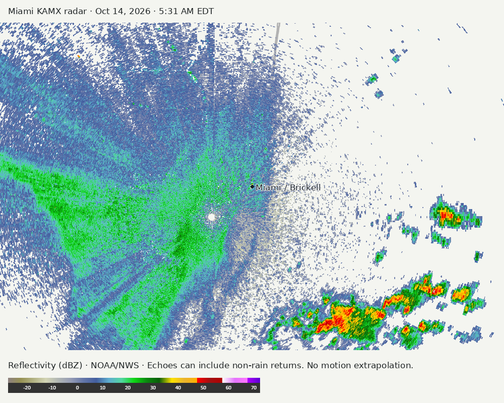
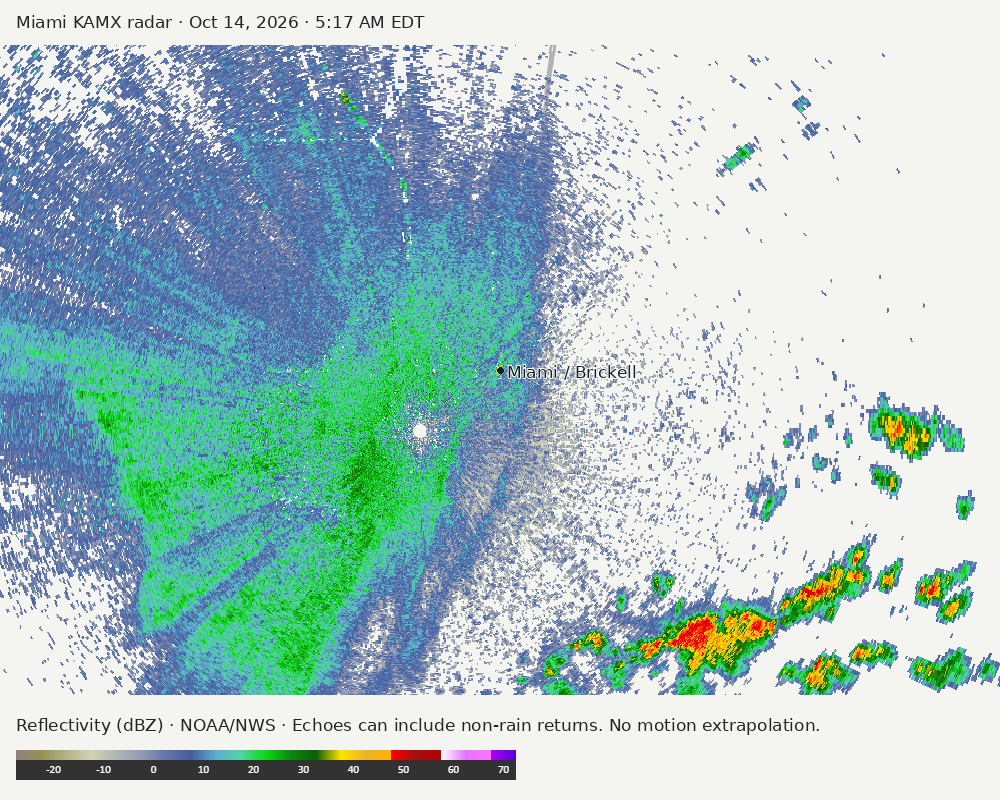
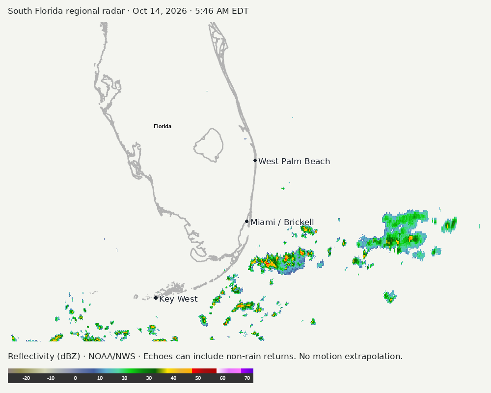
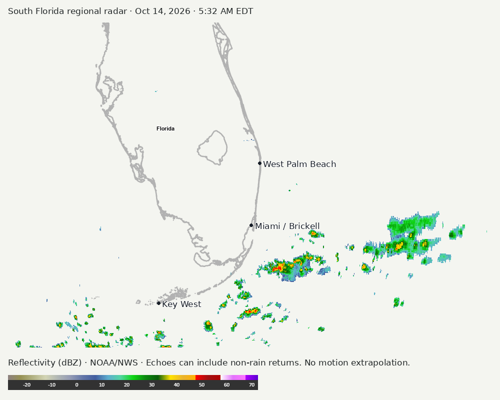
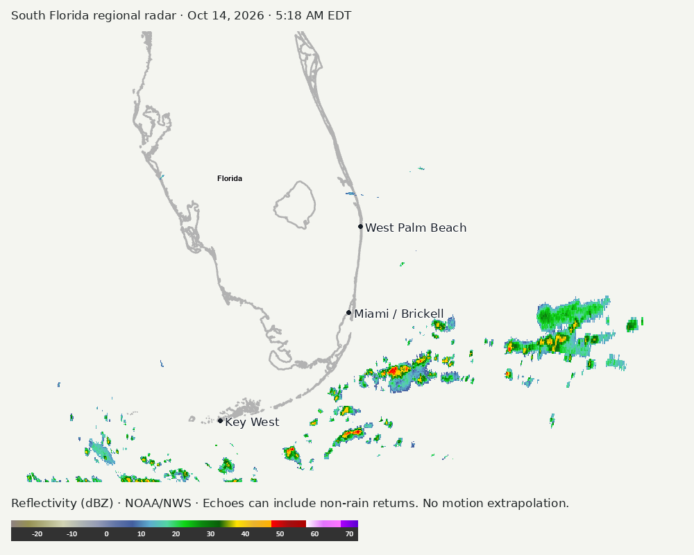
Archived frames show what the instruments captured at their labeled times. Radar echoes can include non-rain returns. No movement or future arrival is inferred automatically from these frames.
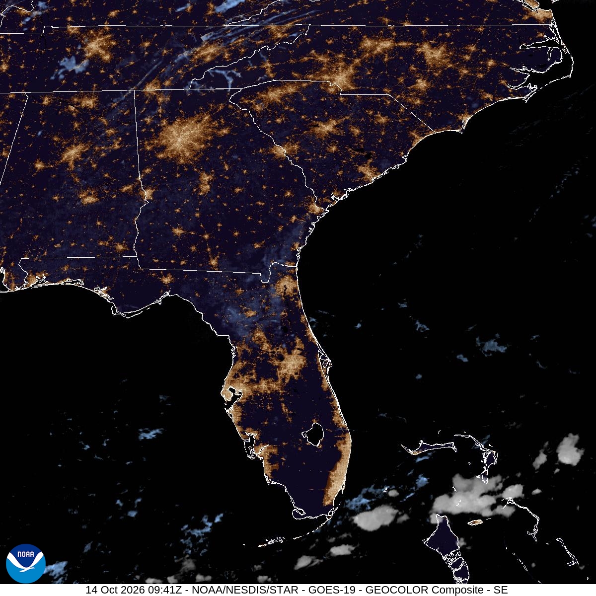
Southeast GeoColor satellite
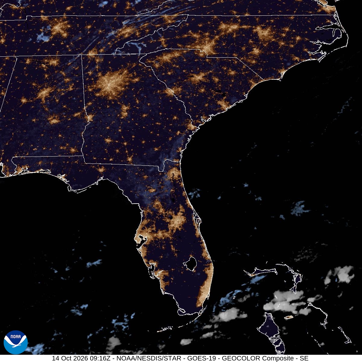
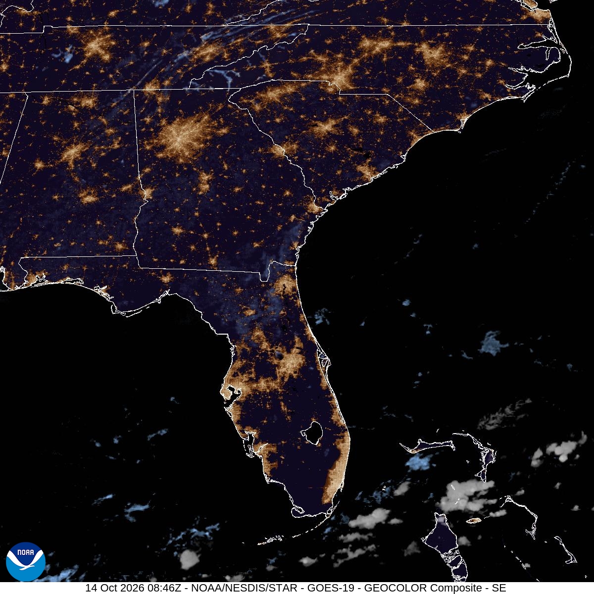
GeoColor shows the Southeast, including Florida. The timestamped sequence below preserves cloud detail without automatically interpreting cloud cover at street level.

Earlier timestamped frames


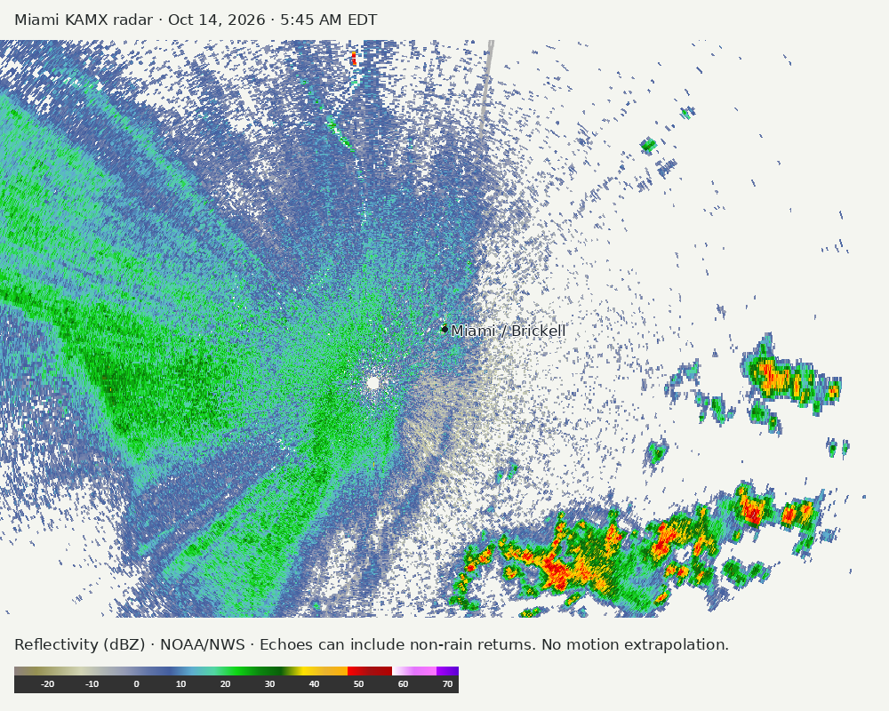
Detailed Miami radar — official KAMX fallback
Colored reflectivity echoes are concentrated west of Miami, southwest of Miami, southeast of Miami relative to Miami in the latest frame. These are echo locations, not confirmation of rain at the surface.
Earlier timestamped frames
Regional South Florida radar
Colored reflectivity echoes are concentrated east of Miami, southeast of Miami, southwest of Miami relative to Miami in the latest frame. These are echo locations, not confirmation of rain at the surface.
Earlier timestamped frames
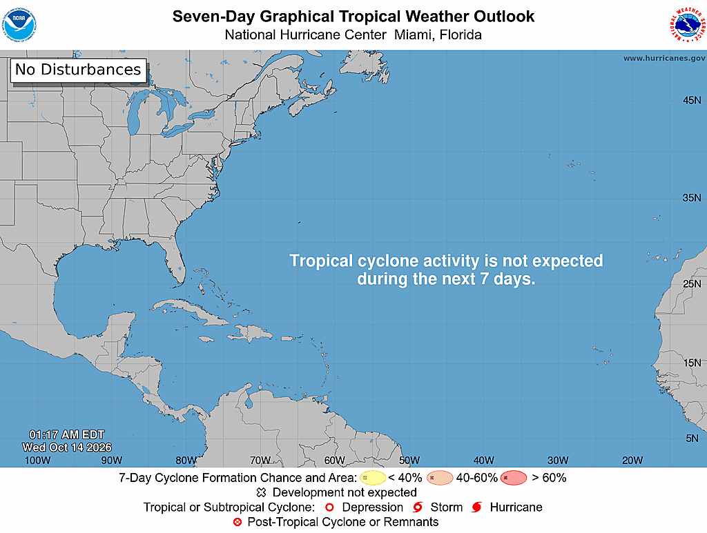
Tropical outlook
The Atlantic outlook describes development potential, not a forecast of impacts in Miami. No local hurricane impact is inferred here.
Read official source text
000
ABNT20 KNHC 140517
TWOAT

Tropical Weather Outlook
NWS National Hurricane Center Miami FL
200 AM EDT Wed Oct 14 2026

For the North Atlantic...Caribbean Sea and the Gulf of America:

Tropical cyclone formation is not expected over the next 7 days.

$$
Forecaster Reinhart
Miami forecast discussion
Read official source text
000
FXUS62 KMFL 140750
AFDMFL

Area Forecast Discussion
National Weather Service Miami FL
350 AM EDT Wed Oct 14 2026

...New SHORT TERM, LONG TERM, MARINE...

.KEY MESSAGES...
Updated at 310 AM EDT Wed Oct 14 2026

 - Moisture gradually returns to the region today, with the
   potential of a few showers south of Alligator Alley this
   afternoon.

 - Afternoon apparent temperatures will increase from the upper
   90s today to 100-105F during the afternoon hours of Thursday
   and Friday.

 - The evolution of a frontal boundary will dictate our local
   weather this upcoming weekend. Confidence continues to increase
   for a forecast of windy and wet conditions for South Florida.

&&

.SHORT TERM...
(Today through Thursday)
Issued at 310 AM EDT Wed Oct 14 2026

Another spectacular edition of fake fall is nearing a untimely
conclusion across South Florida this morning as 07z mesoanalysis
and GOES East water vapor imagery reveal that moisture is slowly
retrograding back into the region as deep-layer ridging remains
established to the north of our area. With an elongated mid-level
ridge draped across much of the southeastern United States, the
synoptic pattern across our region will remain rather benign. As
a surface ridge axis gradually slides eastward across the
southeastern United States and into the western Atlantic waters
today, surface wind flow will begin to veer to more of an easterly
direction as a frontolytic boundary over the Florida Keys and an
envelope of residual atmospheric moisture retrogrades back into
the region. Today still appears to be, very much so a transition
day between the current dry airmass in place across South Florida
this morning and more substantial moisture advection later in the
week. Breezy east-northeasterly flow and increasing moisture will
support the potential of afternoon shower activity south of
Alligator Alley today, where the best instability and moisture
will reside. Activity will remain vertically capped in nature as
moisture advection remains confined the the lowest level of the
boundary layer with a copious amount of dry air. The latest
forecast continues to depict 20-40% rain chances across the
southern half of the region this afternoon. Forecast high
temperatures range from the upper 80s along the east coast to
values in the low 90s across southwestern Florida.

Mid-level ridging briefly established across the southeastern
United States is forecast to propagate eastward on Thursday as
the next lobe of troughing slides eastward across the central
United States. For now at least, our weather regime here in South
Florida will be primarily influenced by the surface ridge still
situated over the western Atlantic waters. Surface winds will
gradually veer to an easterly direction by Thursday afternoon as
the axis of surface ridging across the southeastern United States
pivots further eastward and wanes in strength. Consequently, the
established pressure gradient will begin to subside with surface
winds remaining light out of an easterly direction. This will
focus the best afternoon and evening rain chances across the
western half of the peninsula on Thursday. Scattered showers and a
few thunderstorms remain possible, although weak lapse rates and
warm 500mb temperatures should keep the threat of strong
convection to a minimum. High temperatures on Thursday will
remain similar to today (upper 80s to low 90s, peak values
forecast, however the increase in moisture will result in a return
of apparent temperatures back into the 100-105F degree range
during the late morning and early afternoon hours.

&&

.LONG TERM...
(Thursday night through Tuesday)
Issued at 310 AM EDT Wed Oct 14 2026


As the positively tilted trough amplifies and digs
across the eastern half of the United States, a strengthening
surface low will strengthen and push east-northeastward in
tandem. A sprawling frontal boundary attached to the low is
forecast to push across the southeastern United States on Friday
before arriving across the region during the upcoming weekend. As
surface ridging slides further to the east, winds across South
Florida will begin to veer to a southeasterly component. This will
usher in even deeper atmospheric and continue the trend of 1)
higher rain chances and 2) higher apparent temperatures. Friday
could very well be the warmest day of the week with feels-like
temperatures once again reaching the 100-105F range across South
Florida. The breakdown of stronger background flow across the
region will result in sea-breeze circulations being the driving
mechanism of where afternoon convection focuses, which may reside
mainly across inland areas and Lake Okeechobee as both sea-breezes
converge inland.

The placement of the aforementioned frontal boundary in relation to
South Florida, surface high pressure axis to the north, and any
mesoscale coastal convergence will have a direct influence on
potential rainfall totals, wind gusts, and the severity of any
marine/coastal impacts across the region during the upcoming weekend
into next week. Forecasted precipitable water and low level RH
values (via forecast soundings) during this time period appear to
approach the daily max for this time of year, indicative of an
airmass that is saturated in the low level boundary layer. 500mb
temperatures are also forecast to be on the warmer side which may
support an expansive warm cloud layer and heavy rainfall. The
Weather Prediction Center has placed portions of the east coast of
South Florida in a Day 4 and Day 5 Marginal risk of excessive
rainfall (Level 1 of 4). In this type of complex weather regime,
it is far too early to discuss specific rainfall totals as
anchoring bias to specific values could hurt messaging more than
help it. The main takeaway is that forecast confidence is
increasing that heavy rainfall could occur across portions of
South Florida this weekend into early next week. Outside of any
heavy rain threat, guidance has also been consistent in showing
the enhancement of a pressure gradient across the western Atlantic
and South Florida. This would act to increase wind speeds across
the area, resulting in gusty conditions and potential marine and
coastal impacts. While forecast confidence has increased in a wet
and windy weekend, uncertainty as far as timing and impacts
remain. Stay tuned for forecast updates as we progress through the
remainder of the work week. An increase in wind and rain chances
may keep ambient and apparent temperatures lower beginning during
the upcoming weekend.

&&

.AVIATION...
(06Z TAFS)
Issued at 110 AM EDT Wed Oct 14 2026

Light and variable surface winds will prevail through daybreak
before breezy ENErly winds prevail across the region. Isolated
SHRA is possible in the vicinity of terminals south of Alligator
Alley today but confidence is too low to include VCSH in the TAFs
at this time. L/V winds forecast once again overnight with winds
quickly lessening in strength after sunset.

&&

.MARINE...
Issued at 310 AM EDT Wed Oct 14 2026

Breezy northeasterly winds will prevail across the local waters of
South Florida through tonight. Small Craft Exercise Caution
(SCEC) conditions could be realized at times across the Atlantic
and Gulf waters as winds enhance and lessen with
nocturnal/diurnal cycles. Waves will remain 2-3 feet across the
region through early Thursday with the caveat that locally higher
waves and winds are possible in and around any shower or
thunderstorm activity, mainly across our southern waters. While
uncertainty remains, forecast confidence continues to increase for
the potential of elevated seas and waves across the local waters
of South Florida this weekend into early next week.

&&

.PRELIMINARY POINT TEMPS/POPS...
Miami            88  79  89  79 /  20  40  30  20
West Kendall     88  77  90  78 /  30  30  30  10
Opa-Locka        88  78  90  78 /  20  40  40  20
Homestead        87  78  90  78 /  30  40  30  20
Fort Lauderdale  87  78  88  79 /  20  50  50  20
N Ft Lauderdale  88  78  89  79 /  10  50  50  20
Pembroke Pines   88  78  90  78 /  20  40  40  20
West Palm Beach  88  77  89  78 /  10  30  50  20
Boca Raton       88  78  88  78 /  10  40  50  20
Naples           90  74  90  75 /  10   0  60  10

&&

.MFL WATCHES/WARNINGS/ADVISORIES...
FL...None.
AM...None.
GM...None.
&&

$$

SHORT TERM...Hadi
LONG TERM....Hadi
AVIATION...Hadi
Sources and freshness
Supplementary failures do not replace missing data with reassuring conclusions. All source times below are Eastern; source metadata and original downloads are archived with this report.
Alerts · available
Source. Retrieved Oct 14, 2026 · 5:47 AM EDT.
Beach · available
Source. Retrieved Oct 14, 2026 · 5:47 AM EDT. Issued Oct 14, 2026 · 4:41 AM EDT.
Coastal Alerts · available
Source. Retrieved Oct 14, 2026 · 5:47 AM EDT.
Discussion · available
Source. Retrieved Oct 14, 2026 · 5:47 AM EDT. Issued Oct 14, 2026 · 3:50 AM EDT.
Forecast · available
Source. Retrieved Oct 14, 2026 · 5:47 AM EDT. Issued Oct 14, 2026 · 4:41 AM EDT.
Hourly · available
Source. Retrieved Oct 14, 2026 · 5:47 AM EDT. Issued Oct 14, 2026 · 4:41 AM EDT.
Local Radar · available
Source. Retrieved Oct 14, 2026 · 5:47 AM EDT. Issued Oct 14, 2026 · 5:45 AM EDT.
Marine · available
Source. Retrieved Oct 14, 2026 · 5:47 AM EDT. Issued Oct 14, 2026 · 3:51 AM EDT.
Mcnoldy · unavailable
Source. Retrieved Oct 14, 2026 · 5:47 AM EDT. URLError: transport or certificate failure
Nhc · available
Source. Retrieved Oct 14, 2026 · 5:47 AM EDT. Issued Oct 14, 2026 · 1:17 AM EDT.
Observation · available
Source. Retrieved Oct 14, 2026 · 5:47 AM EDT. Issued Oct 14, 2026 · 5:30 AM EDT.
Regional Radar · available
Source. Retrieved Oct 14, 2026 · 5:47 AM EDT. Issued Oct 14, 2026 · 5:46 AM EDT.
Satellite · available
Source. Retrieved Oct 14, 2026 · 5:47 AM EDT. Issued Oct 14, 2026 · 5:41 AM EDT.
Tropical Tidbits · not-used
Source. Retrieved not retrieved. No current tropical context requiring this supplementary source, or the NHC input is unavailable.