Morning Miami Weather Report
Miami, October 15 — Slight Chance Rain Showers then Slight Chance Showers And Thunderstorms
Automated weather summary from official sources; factual templates with validated source timestamps. Follow NWS Miami and NHC for current guidance.
Forecast for Miami / Brickell
Thursday: 88°F. Slight Chance Rain Showers then Slight Chance Showers And Thunderstorms. Wind 12 mph E. Rain chance: 23%.
A slight chance of rain showers before 8am, then a slight chance of showers and thunderstorms. Sunny, with a high near 88. Heat index values as high as 101. East wind around 12 mph. Chance of precipitation is 20%. New rainfall amounts less than a tenth of an inch possible.
Thursday Night: A slight chance of showers and thunderstorms before 9pm, then a chance of showers and thunderstorms. Mostly clear, with a low around 81. Heat index values as high as 100. East wind around 13 mph. Chance of precipitation is 30%. New rainfall amounts less than a tenth of an inch possible.
Hourly forecast — rain chances and timing
| Eastern time | Temperature | Rain chance | Wind | Forecast |
|---|---|---|---|---|
| Oct 15, 2026 · 6:00 AM EDT | 81°F | 23% | 10 mph E | Slight Chance Rain Showers |
| Oct 15, 2026 · 7:00 AM EDT | 82°F | 21% | 9 mph E | Slight Chance Rain Showers |
| Oct 15, 2026 · 8:00 AM EDT | 83°F | 10% | 9 mph E | Sunny |
| Oct 15, 2026 · 9:00 AM EDT | 83°F | 10% | 10 mph E | Sunny |
| Oct 15, 2026 · 10:00 AM EDT | 85°F | 12% | 10 mph E | Sunny |
| Oct 15, 2026 · 11:00 AM EDT | 85°F | 13% | 10 mph E | Mostly Sunny |
| Oct 15, 2026 · 12:00 PM EDT | 86°F | 15% | 10 mph E | Slight Chance Showers And Thunderstorms |
| Oct 15, 2026 · 1:00 PM EDT | 86°F | 17% | 12 mph E | Slight Chance Showers And Thunderstorms |
| Oct 15, 2026 · 2:00 PM EDT | 86°F | 18% | 12 mph E | Slight Chance Showers And Thunderstorms |
| Oct 15, 2026 · 3:00 PM EDT | 86°F | 12% | 12 mph E | Sunny |
| Oct 15, 2026 · 4:00 PM EDT | 87°F | 16% | 12 mph E | Slight Chance Showers And Thunderstorms |
| Oct 15, 2026 · 5:00 PM EDT | 86°F | 19% | 12 mph E | Slight Chance Showers And Thunderstorms |
| Oct 15, 2026 · 6:00 PM EDT | 86°F | 18% | 12 mph E | Slight Chance Showers And Thunderstorms |
| Oct 15, 2026 · 7:00 PM EDT | 85°F | 19% | 10 mph E | Slight Chance Showers And Thunderstorms |
| Oct 15, 2026 · 8:00 PM EDT | 84°F | 24% | 12 mph E | Slight Chance Showers And Thunderstorms |
| Oct 15, 2026 · 9:00 PM EDT | 84°F | 28% | 12 mph E | Chance Showers And Thunderstorms |
| Oct 15, 2026 · 10:00 PM EDT | 84°F | 27% | 12 mph E | Chance Showers And Thunderstorms |
| Oct 15, 2026 · 11:00 PM EDT | 84°F | 30% | 12 mph E | Chance Showers And Thunderstorms |
Observed nearby
Miami International Airport (KMIA), Oct 15, 2026 · 5:50 AM EDT: Partly Cloudy. Temperature 81°F; wind 6 mph. This airport observation does not measure conditions at your exact location in Brickell.
Alerts and outdoor plans
Miami / Brickell: no active alerts returned by the official query at collection time. This is not a statement that conditions are safe.
Biscayne Bay and the Miami-Dade coast: no active alerts returned by the official query at collection time. This is not a statement that conditions are safe.
Running: Use the temperature, rain and wind forecast above to plan your window. If thunderstorms are forecast or you hear thunder, postpone outdoor activity and seek a substantial building. This briefing does not certify a safe running window.
Paddleboarding — official Biscayne Bay forecast
Today: E winds 5 to 10 kt (12 mph). Light chop. A slight chance of showers and tstms early this morning.
Tonight: E winds 10 to 15 kt (17 mph). A moderate chop.
Fri: E winds 5 to 10 kt (12 mph). Light chop. A chance of showers and tstms in the afternoon.
Wind speeds in the source use knots (1 knot = 1.151 mph). Check current marine alerts and local conditions before launching; no safe launch window is inferred.
Official coastal Miami-Dade beach and rip-current guidance
FLZ173-152100-
Coastal Miami-Dade-
Including the beaches of Miami
326 AM EDT Thu Oct 15 2026

.TODAY...
Rip Current Risk*...........Low.
Surf Height.................Around 1 foot.
Thunderstorm Potential**....Low.
Waterspout Risk**...........None.
UV Index**..................Very High.
Water Temperature...........In the mid 80s.
Weather.....................Mostly sunny. A chance of showers and a
                            slight chance of thunderstorms.
High Temperature............In the upper 80s.
Max Heat Index..............Up to 103.
Winds.......................East winds around 10 mph.
Tides...
   Miami Harbor Entrance....High at 12:24 PM EDT.
Sunrise.....................7:19 AM.
Sunset......................6:54 PM.

.FRIDAY...
Rip Current Risk*...........Low.
Surf Height.................1 to 2 feet.
Thunderstorm Potential**....Moderate.
Weather.....................Mostly sunny. A chance of showers and
                            thunderstorms.
High Temperature............In the upper 80s.
Max Heat Index..............Up to 103.
Winds.......................East winds around 10 mph.
Tides...
   Miami Harbor Entrance....Low at 06:27 AM EDT.
                            High at 01:09 PM EDT.
Sunrise.....................7:20 AM.
Sunset......................6:53 PM.

&&

Rip Current Risk Category
* Low Risk - The risk for rip currents is low, however,
life-threatening rip currents often occur in the vicinity of groins,
jetties, reefs, and piers.
* Moderate Risk - Life-threatening rip currents are possible in the
surf zone.
* High Risk - Life-threatening rip currents are likely in the surf
zone.

** For thunderstorm, waterspout, and UV definitions see:
https://www.weather.gov/beach/mfl
Satellite and radar
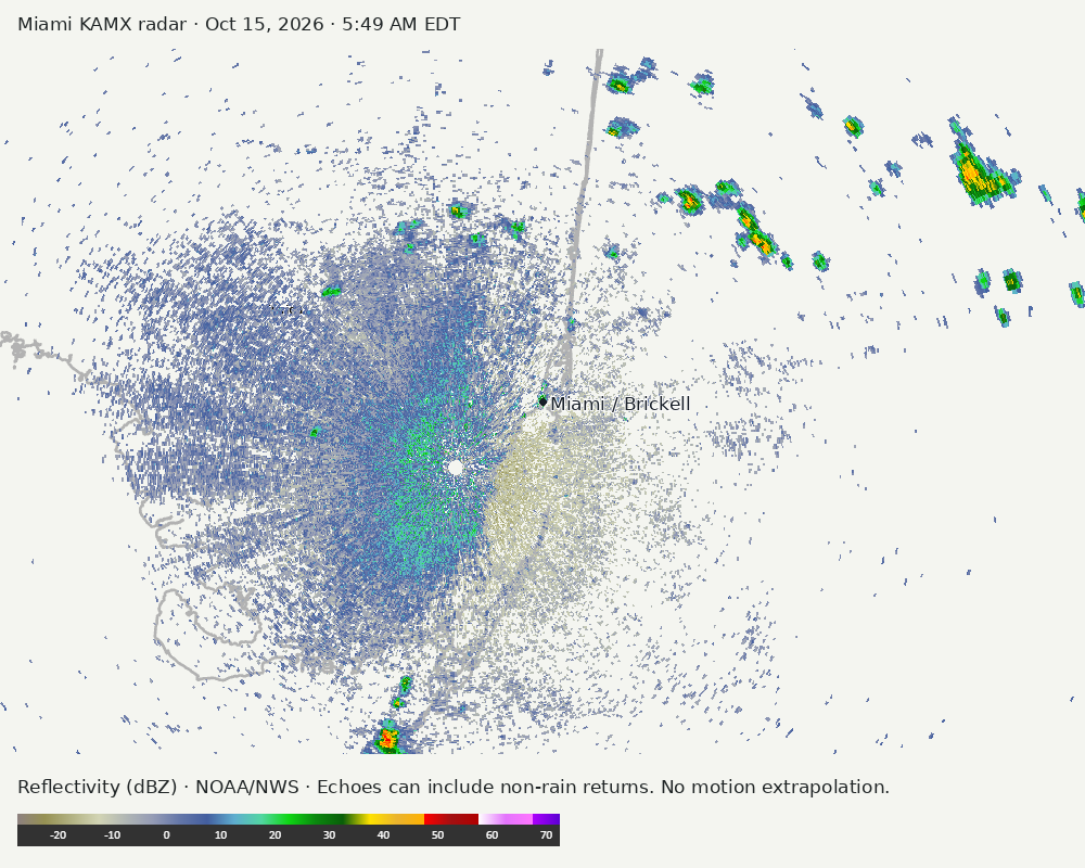
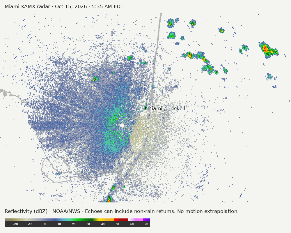
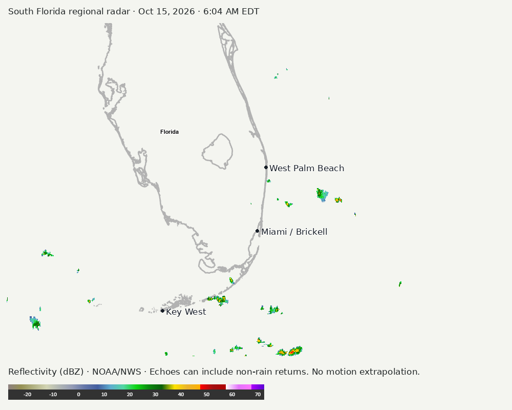
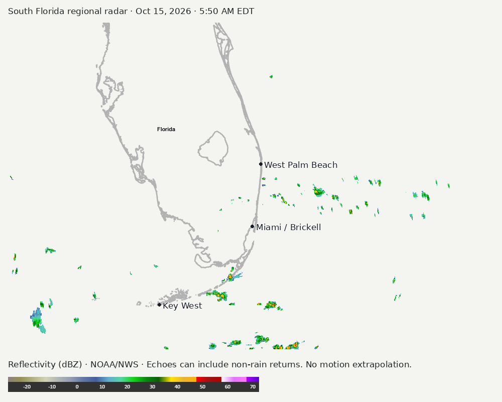
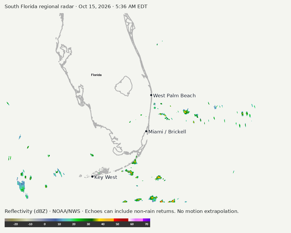
Archived frames show what the instruments captured at their labeled times. Radar echoes can include non-rain returns. No movement or future arrival is inferred automatically from these frames.
Southeast GeoColor satellite
GeoColor shows the Southeast, including Florida. The timestamped sequence below preserves cloud detail without automatically interpreting cloud cover at street level.
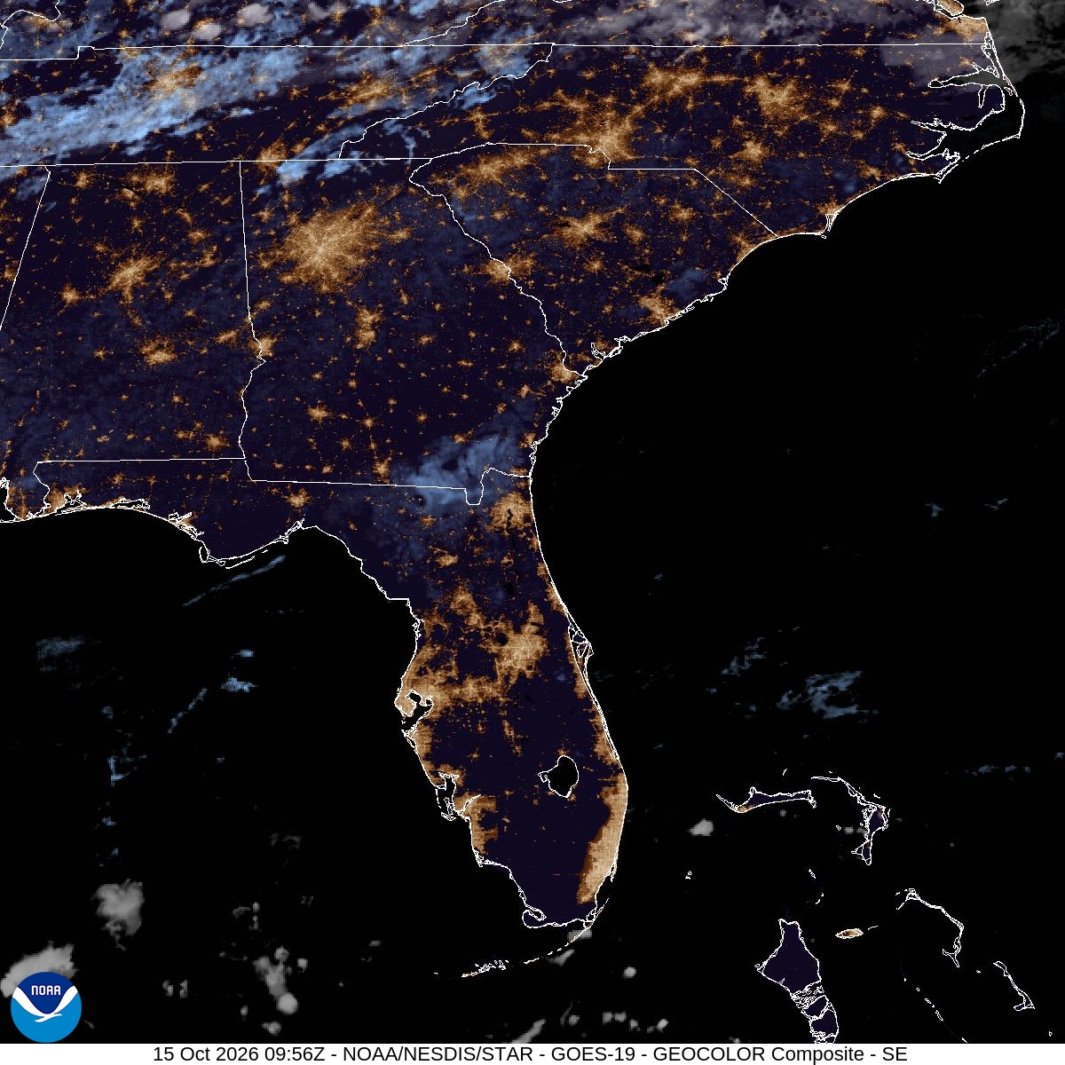

Earlier timestamped frames
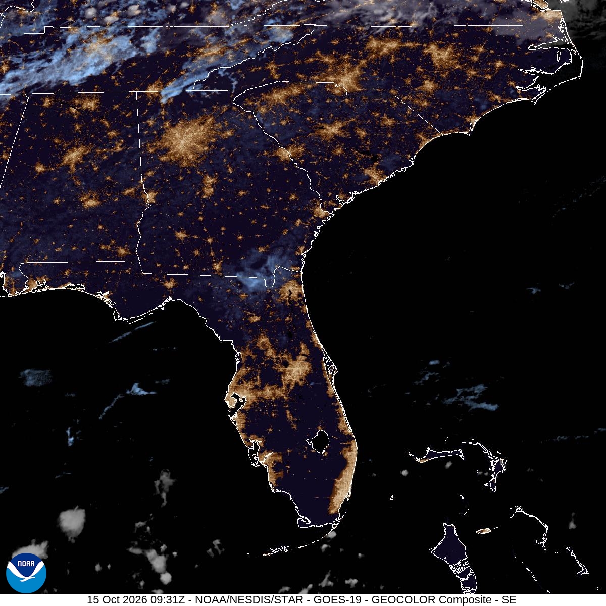

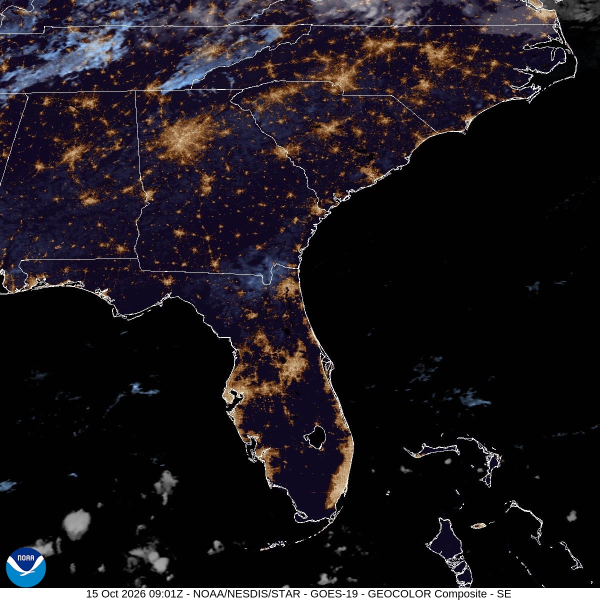

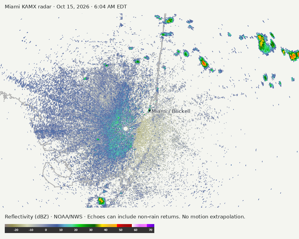
Detailed Miami radar — official KAMX fallback
Colored reflectivity echoes are concentrated northeast of Miami, southwest of Miami relative to Miami in the latest frame. These are echo locations, not confirmation of rain at the surface.
Earlier timestamped frames
Regional South Florida radar
The automatic echo-location check could not assign a reliable region. Inspect the image; this does not mean conditions are clear.
Earlier timestamped frames
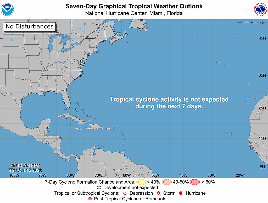
Tropical outlook
The Atlantic outlook describes development potential, not a forecast of impacts in Miami. No local hurricane impact is inferred here.
Read official source text
000
ABNT20 KNHC 150513
TWOAT

Tropical Weather Outlook
NWS National Hurricane Center Miami FL
200 AM EDT Thu Oct 15 2026

For the North Atlantic...Caribbean Sea and the Gulf of America:

Tropical cyclone formation is not expected during the next 7 days.

$$
Forecaster Reinhart
Miami forecast discussion
Read official source text
000
FXUS62 KMFL 150525
AFDMFL

Area Forecast Discussion
National Weather Service Miami FL
125 AM EDT Thu Oct 15 2026

...New SHORT TERM, LONG TERM, AVIATION, MARINE...

.KEY MESSAGES...
Updated at 122 AM EDT Thu Oct 15 2026

 - Scattered showers and storms today will focus mainly across
   Southwest Florida this afternoon and evening. Isolated to
   scattered activity expected for Southeast Florida mainly late
   morning through midday.

 - Moderate to Major HeatRisk is forecast across the region for
   the end of this week with maximum heat index values in the
   100-105F range.

 - The evolution of a frontal boundary will dictate our local
   weather this upcoming weekend. Confidence continues to increase
   for a forecast of windy and wet conditions for South Florida.

&&

.SHORT TERM...
(Today through Friday)
Issued at 122 AM EDT Thu Oct 15 2026

For the end of this week, surface high pressure will be set up over
the western Atlantic to end the week along with a mid-level ridge
propagating from the southeastern US to the offshore western
Atlantic waters. This will occur in tandem with a synoptic scale
trough amplifying across the central US. As a result of the mid-
level high shifting further east, low-level and mid-level flow will
shift southerly/southeasterly and usher in deeper tropical moisture
(PWATs around 1.8-2 inches or slightly more) and provide ample
moisture for the production of diurnal showers and thunderstorms.
With the surface high pressure over the western Atlantic setting up
an easterly wind regime across the area, the most widespread showers
and storms should focus across SW Florida as the Gulf breeze gets
pinned, while some isolated to scattered showers and storms form
over the east coast metro areas mainly between late morning and
midday. Some storms may contain stronger wind gusts and periods of
heavy rainfall, but overall parameters are lacking in terms of
strong convection potential as well as low flooding risk. However,
an isolated occurrence of poor drainage urban flooding cannot be
entirely ruled out.

Flow will shift a little more southeasterly on Friday as the trough
over the central US begins to advect towards the northeast US and
pushes the ridge over the Southeast offshore. This southerly flow
pattern will support ongoing deep moisture advection, and with low
level out of a SE/ESE direction, the focus for showers and storms on
Friday will be across both interior and SW Florida, and perhaps
stretching into Palm Beach county with PoPs in these areas in the 70-
85% range. Flow will be a bit weaker on Friday compared to Thursday,
so there will be a higher risk for flooding impacts on Friday. High
temperatures for the end of this week will be in the upper 80s to
low 90s. Elevated moisture will keep dew points and corresponding
heat index values elevated in the 100-105F range as well, posing
moderate to major HeatRisk across the region as we typically don't
see this level of heat this late in the season.

&&

.LONG TERM...
(Friday night through Wednesday)
Issued at 122 AM EDT Thu Oct 15 2026

Moving into the weekend, the speed of a propagating frontal boundary
off of the trough that is swinging across the central and eastern US
will be a big player in the amount of rainfall that we may see over
the weekend. Ensembles plus much of the deterministic guidance are
generally coming together at this point with the front pushing into
central and perhaps the northernmost portions of the South Florida
forecast area Saturday evening and overnight into Sunday. The
steadiest rain would be expected directly ahead of the front,
leading to the most widespread rainfall likely to occur on Saturday
before the front pushes out the deeper moisture from portions of the
region. Potential rainfall amounts are still heavily uncertain, but
the latest 90th percentile 24-hour QPF is between 2-4" for Saturday
and lower for Sunday, suggesting that even in a worst case scenario
we may only need to be concerned for localized flooding.
Nevertheless, we still need another day or two to get a more
accurate perception of how much rain is possible in different time
spans this weekend.

Following the front stalling out late this weekend and into early
next week, there is better agreement across the ensemble guidance
that a steep pressure gradient will set up over the entire state of
Florida, bringing with it a jump in easterly winds. The exact timing
of the onset of winds here will be tied to the speed and direction
of the high pressure system building behind the front which is not
completely resolved yet, but less widespread rain is expected as we
move into next week and extending into the middle of the week.

&&

.AVIATION...
(06Z TAFS)
Issued at 122 AM EDT Thu Oct 15 2026

VFR continues for the rest of the night and the early morning hours
with E/ENE winds around 7-10 kts lingering overnight. Some scattered
SHRA and isolated TS is possible early this morning across the east
coast, with another round of scattered SHRA/TS expected between 13-
20Z before shifting to the west coast late in the day. A few periods
of brief light restrictions will be possible due to the scattered
shower and storm coverage.

&&

.MARINE...
Issued at 122 AM EDT Thu Oct 15 2026

Gentle to moderate easterly winds are expected across the local
waters for the end of this week. Winds will shift to the north/north-
northeast and become strong over the weekend as frontal boundary
approaches from the north. This will coincide with some
northeasterly swell arriving. Seas to end the week will be generally
in the 2-3 feet range. Isolated to scattered showers and storms are
possible each day as well, which can result in locally hazardous
winds and elevated seas.

&&

.PRELIMINARY POINT TEMPS/POPS...
Miami            89  79  90  77 /  20  20  30  20
West Kendall     90  78  90  76 /  20  20  40  20
Opa-Locka        90  79  90  77 /  20  20  40  20
Homestead        90  78  90  77 /  20  20  30  20
Fort Lauderdale  88  79  89  77 /  20  20  40  30
N Ft Lauderdale  89  79  89  77 /  30  20  40  30
Pembroke Pines   89  78  90  77 /  20  20  40  20
West Palm Beach  89  78  89  76 /  50  30  50  30
Boca Raton       88  79  89  77 /  40  30  40  30
Naples           91  75  89  75 /  50  30  60  50

&&

.MFL WATCHES/WARNINGS/ADVISORIES...
FL...None.
AM...None.
GM...None.
&&

$$

SHORT TERM...Redman
LONG TERM....Redman
AVIATION...Redman
Sources and freshness
Supplementary failures do not replace missing data with reassuring conclusions. All source times below are Eastern; source metadata and original downloads are archived with this report.
Alerts · available
Source. Retrieved Oct 15, 2026 · 6:05 AM EDT.
Beach · available
Source. Retrieved Oct 15, 2026 · 6:05 AM EDT. Issued Oct 15, 2026 · 3:26 AM EDT.
Coastal Alerts · available
Source. Retrieved Oct 15, 2026 · 6:05 AM EDT.
Discussion · available
Source. Retrieved Oct 15, 2026 · 6:05 AM EDT. Issued Oct 15, 2026 · 1:25 AM EDT.
Forecast · available
Source. Retrieved Oct 15, 2026 · 6:05 AM EDT. Issued Oct 15, 2026 · 3:46 AM EDT.
Hourly · available
Source. Retrieved Oct 15, 2026 · 6:05 AM EDT. Issued Oct 15, 2026 · 3:46 AM EDT.
Local Radar · available
Source. Retrieved Oct 15, 2026 · 6:05 AM EDT. Issued Oct 15, 2026 · 6:04 AM EDT.
Marine · available
Source. Retrieved Oct 15, 2026 · 6:05 AM EDT. Issued Oct 15, 2026 · 3:51 AM EDT.
Mcnoldy · unavailable
Source. Retrieved Oct 15, 2026 · 6:05 AM EDT. URLError: transport or certificate failure
Nhc · available
Source. Retrieved Oct 15, 2026 · 6:05 AM EDT. Issued Oct 15, 2026 · 1:13 AM EDT.
Observation · available
Source. Retrieved Oct 15, 2026 · 6:05 AM EDT. Issued Oct 15, 2026 · 5:50 AM EDT.
Regional Radar · available
Source. Retrieved Oct 15, 2026 · 6:05 AM EDT. Issued Oct 15, 2026 · 6:04 AM EDT.
Satellite · available
Source. Retrieved Oct 15, 2026 · 6:05 AM EDT. Issued Oct 15, 2026 · 5:56 AM EDT.
Tropical Tidbits · not-used
Source. Retrieved not retrieved. No current tropical context requiring this supplementary source, or the NHC input is unavailable.