Morning Miami Weather Report
Miami, November 8 — Mostly Sunny
Automated weather summary from official sources; factual templates with validated source timestamps. Follow NWS Miami and NHC for current guidance.
Forecast for Miami / Brickell
Today: 83°F. Mostly Sunny. Wind 8 mph NE. Rain chance: 7%.
Mostly sunny, with a high near 83. Northeast wind around 8 mph.
Tonight: Mostly clear, with a low around 75. Northeast wind 5 to 8 mph.
Hourly forecast — rain chances and timing
| Eastern time | Temperature | Rain chance | Wind | Forecast |
|---|---|---|---|---|
| Nov 8, 2026 · 9:00 AM EST | 79°F | 4% | 6 mph N | Sunny |
| Nov 8, 2026 · 10:00 AM EST | 81°F | 3% | 7 mph N | Sunny |
| Nov 8, 2026 · 11:00 AM EST | 81°F | 2% | 7 mph NE | Sunny |
| Nov 8, 2026 · 12:00 PM EST | 81°F | 3% | 7 mph NE | Mostly Sunny |
| Nov 8, 2026 · 1:00 PM EST | 81°F | 2% | 7 mph NE | Mostly Sunny |
| Nov 8, 2026 · 2:00 PM EST | 81°F | 2% | 7 mph NE | Mostly Sunny |
| Nov 8, 2026 · 3:00 PM EST | 82°F | 3% | 8 mph NE | Mostly Sunny |
| Nov 8, 2026 · 4:00 PM EST | 81°F | 2% | 8 mph NE | Mostly Sunny |
| Nov 8, 2026 · 5:00 PM EST | 81°F | 4% | 8 mph NE | Mostly Sunny |
| Nov 8, 2026 · 6:00 PM EST | 81°F | 4% | 7 mph NE | Mostly Clear |
| Nov 8, 2026 · 7:00 PM EST | 80°F | 5% | 8 mph NE | Partly Cloudy |
| Nov 8, 2026 · 8:00 PM EST | 79°F | 5% | 8 mph NE | Partly Cloudy |
| Nov 8, 2026 · 9:00 PM EST | 79°F | 6% | 7 mph NE | Partly Cloudy |
| Nov 8, 2026 · 10:00 PM EST | 79°F | 4% | 7 mph NE | Partly Cloudy |
| Nov 8, 2026 · 11:00 PM EST | 78°F | 4% | 7 mph NE | Mostly Clear |
Observed nearby
Miami International Airport (KMIA), Nov 8, 2026 · 8:53 AM EST: Mostly Clear. Temperature 80°F; wind 5 mph. This airport observation does not measure conditions at your exact location in Brickell.
Alerts and outdoor plans
Do not drive through flooded roadways.
Do not drive through flooded roadways.
Running: Use the temperature, rain and wind forecast above to plan your window. If thunderstorms are forecast or you hear thunder, postpone outdoor activity and seek a substantial building. This briefing does not certify a safe running window.
Paddleboarding — official Biscayne Bay forecast
Today: NE winds 5 to 10 kt (12 mph). Light chop.
Tonight: NE winds 5 to 10 kt (12 mph). Light chop.
Mon: NE winds around 5 kt (6 mph). Smooth.
Wind speeds in the source use knots (1 knot = 1.151 mph). Check current marine alerts and local conditions before launching; no safe launch window is inferred.
Official coastal Miami-Dade beach and rip-current guidance
FLZ173-082200-
Coastal Miami-Dade-
Including the beaches of Miami
331 AM EST Sun Nov 8 2026

.TODAY...
Rip Current Risk*...........Low.
Surf Height.................1 foot or less.
Thunderstorm Potential**....None.
Waterspout Risk**...........None.
UV Index**..................High.
Water Temperature...........In the lower 80s.
Weather.....................Mostly sunny.
High Temperature............In the mid 80s.
Winds.......................North winds around 5 mph.
Tides...
   Miami Harbor Entrance....High at 07:42 AM EST.
                            Low at 01:25 PM EST.
Sunrise.....................6:33 AM.
Sunset......................5:36 PM.

.MONDAY...
Rip Current Risk*...........Low.
Surf Height.................1 foot or less.
Thunderstorm Potential**....None.
Waterspout Risk**...........None.
Weather.....................Mostly sunny.
High Temperature............In the lower 80s.
Winds.......................Northeast winds around 5 mph.
Tides...
   Miami Harbor Entrance....High at 08:21 AM EST.
                            Low at 02:04 PM EST.
Sunrise.....................6:33 AM.
Sunset......................5:35 PM.

&&

Rip Current Risk Category
* Low Risk - The risk for rip currents is low, however,
life-threatening rip currents often occur in the vicinity of groins,
jetties, reefs, and piers.
* Moderate Risk - Life-threatening rip currents are possible in the
surf zone.
* High Risk - Life-threatening rip currents are likely in the surf
zone.

** For thunderstorm, waterspout, and UV definitions see:
https://www.weather.gov/beach/mfl
Satellite and radar
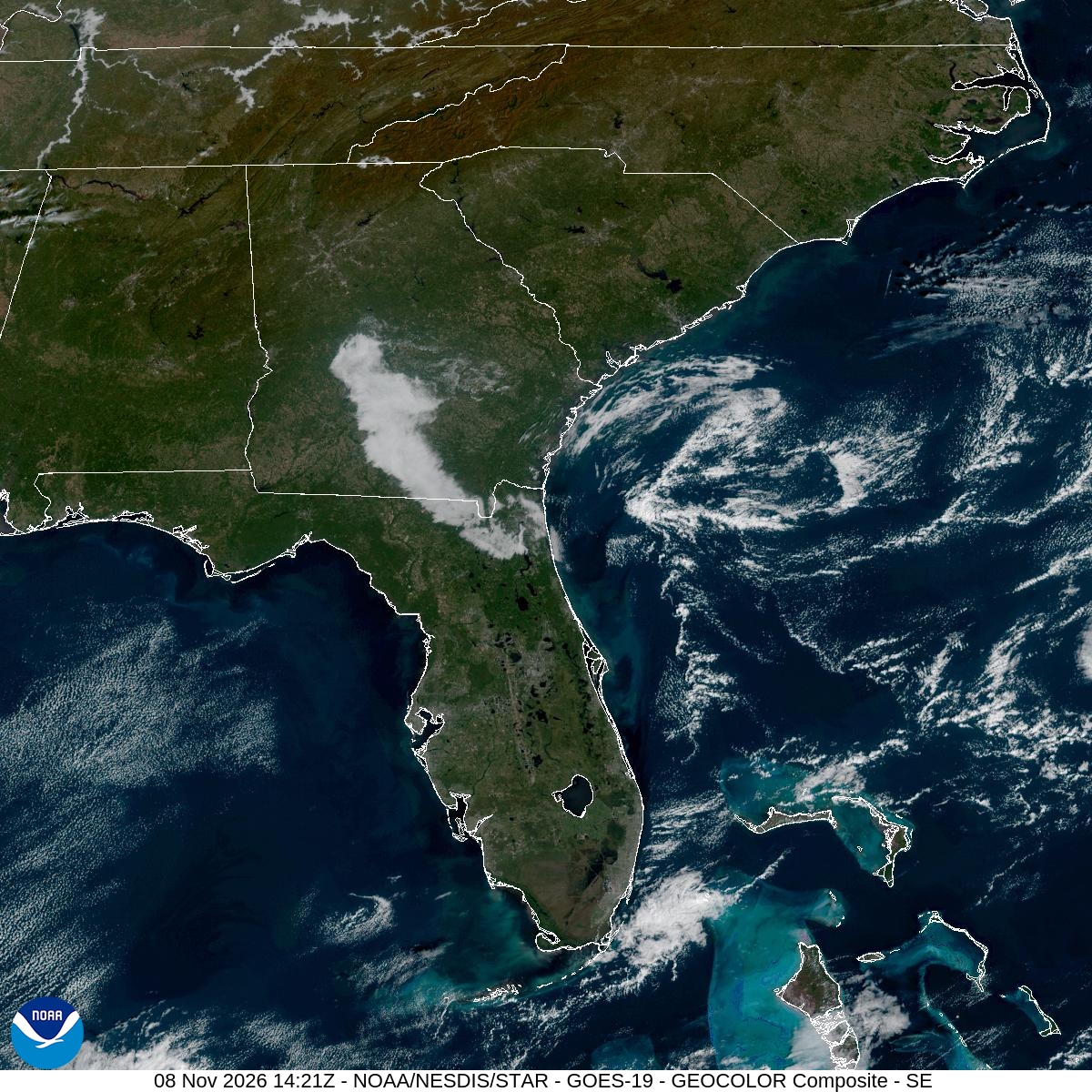
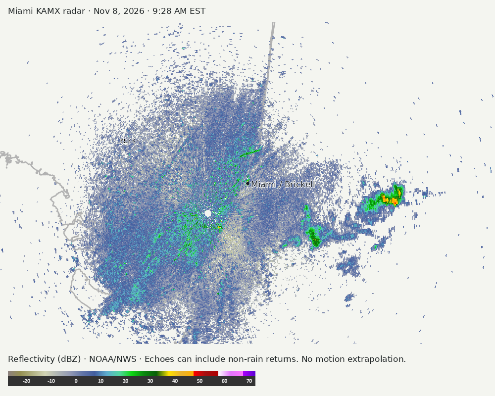
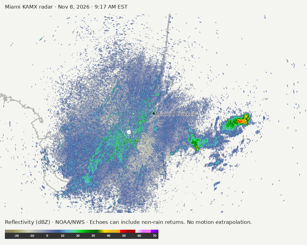
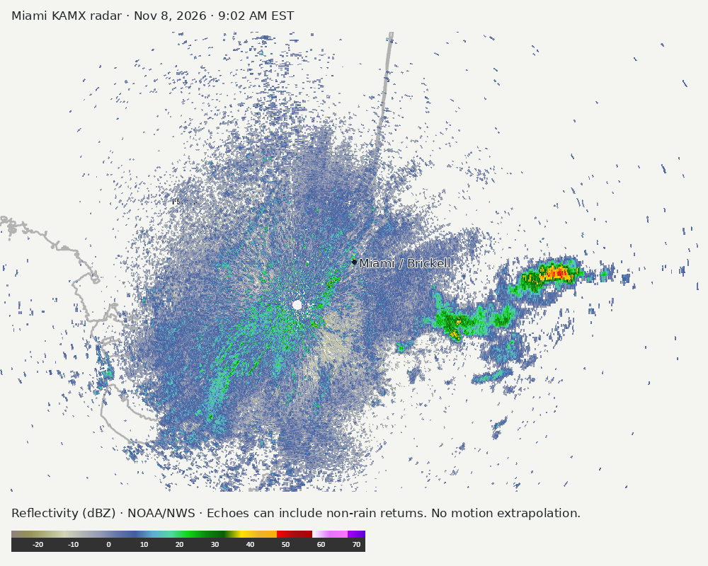
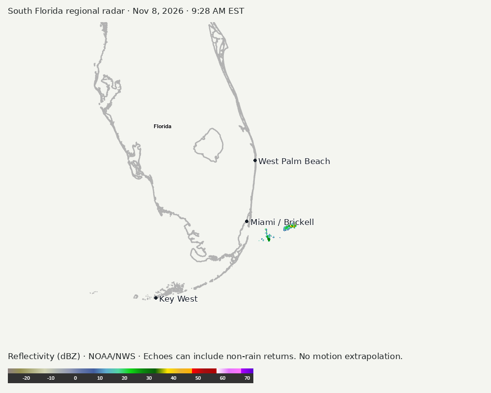
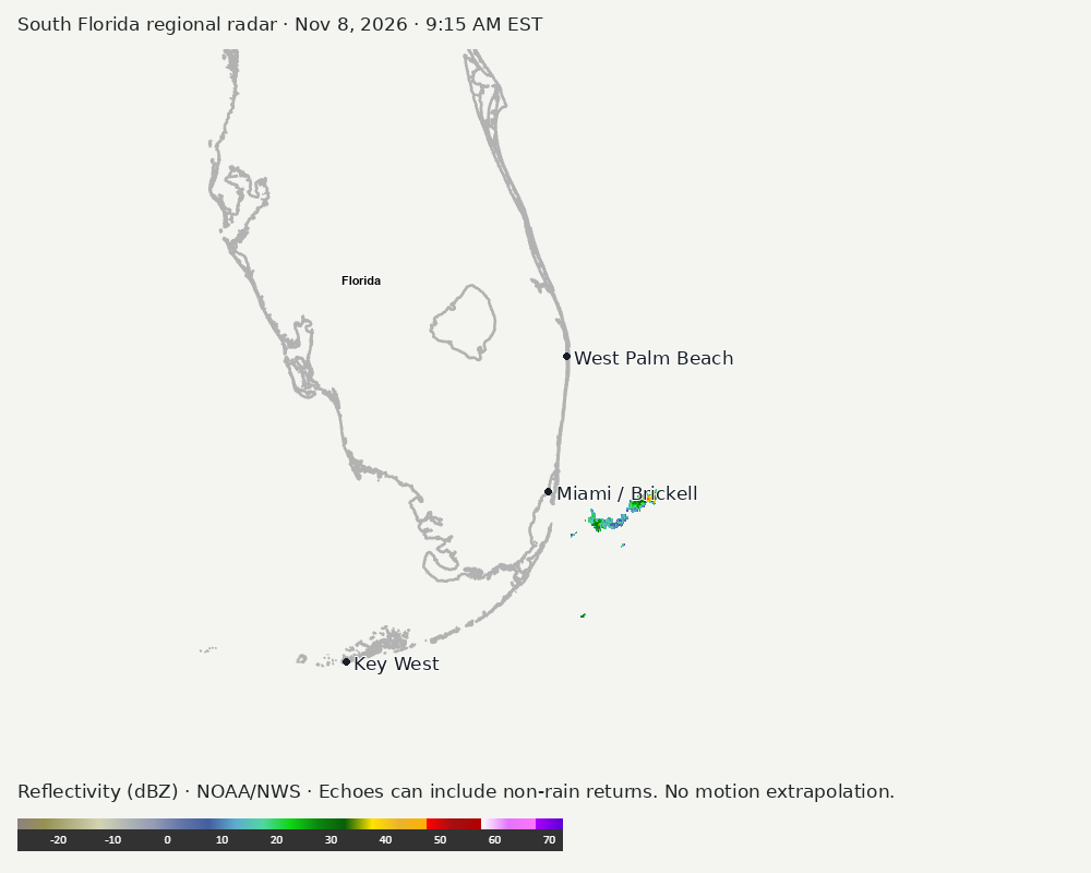
Archived frames show what the instruments captured at their labeled times. Radar echoes can include non-rain returns. No movement or future arrival is inferred automatically from these frames.
Southeast GeoColor satellite
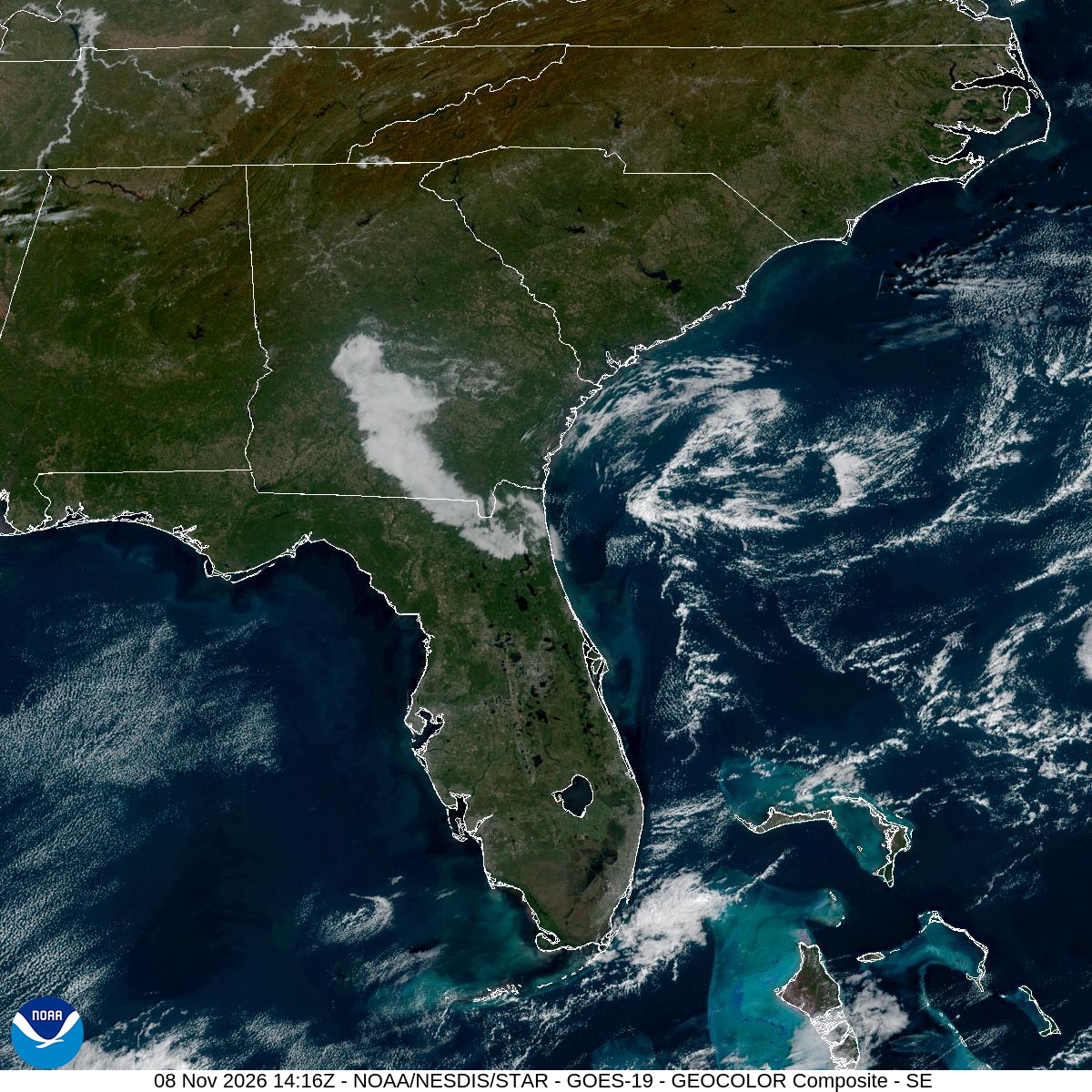
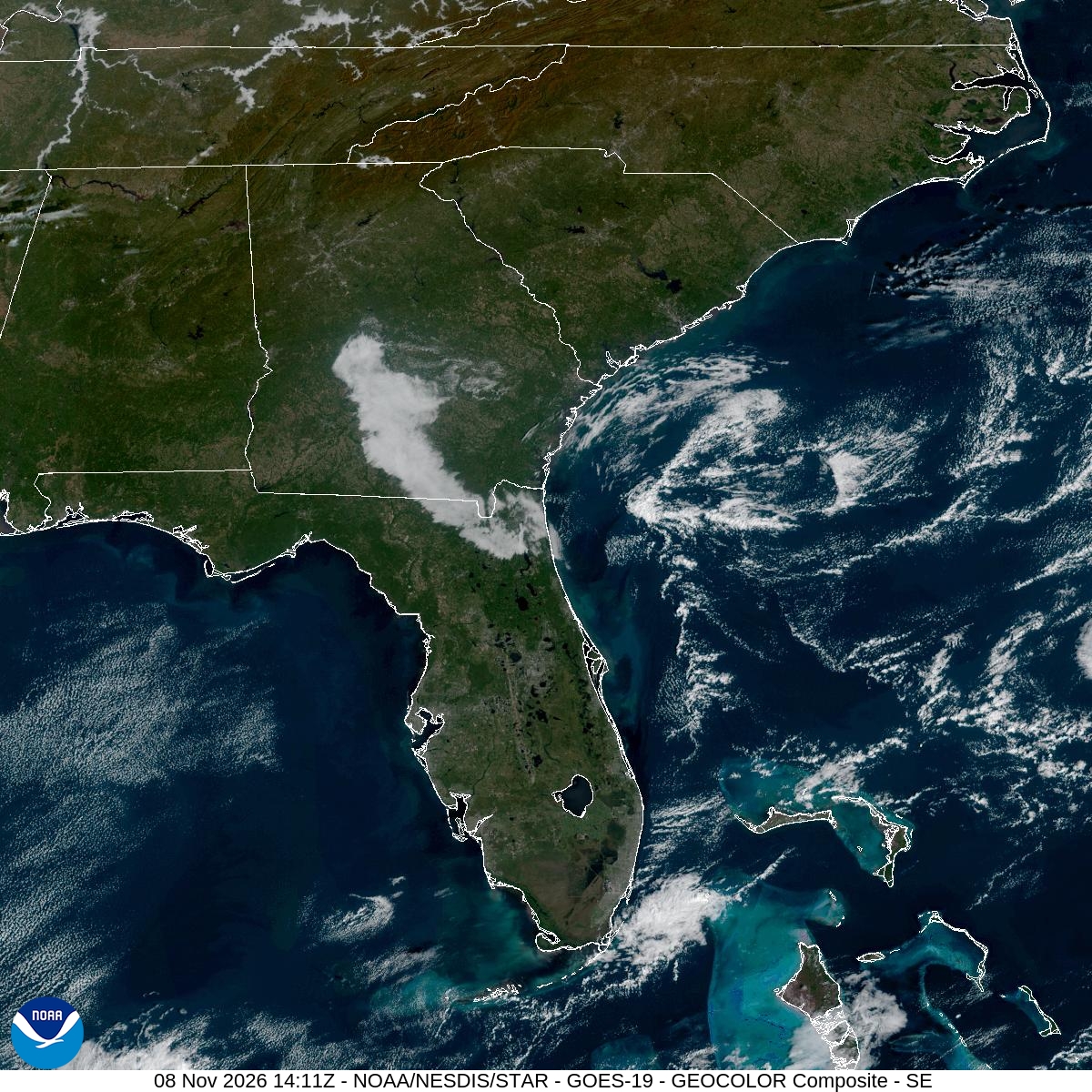
GeoColor shows the Southeast, including Florida. The timestamped sequence below preserves cloud detail without automatically interpreting cloud cover at street level.

Earlier timestamped frames


Detailed Miami radar — official KAMX fallback
Colored reflectivity echoes are concentrated southwest of Miami, east of Miami, southeast of Miami relative to Miami in the latest frame. These are echo locations, not confirmation of rain at the surface.
Earlier timestamped frames
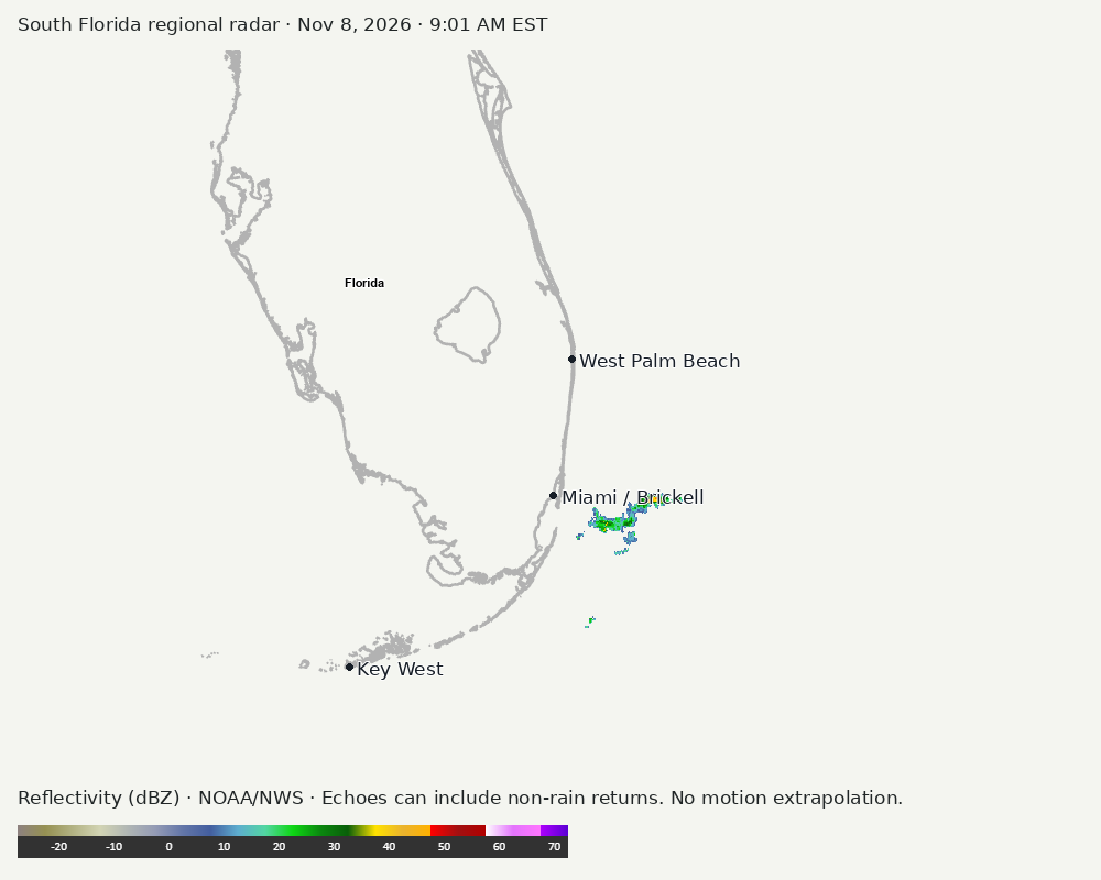
Regional South Florida radar
The automatic echo-location check could not assign a reliable region. Inspect the image; this does not mean conditions are clear.
Earlier timestamped frames
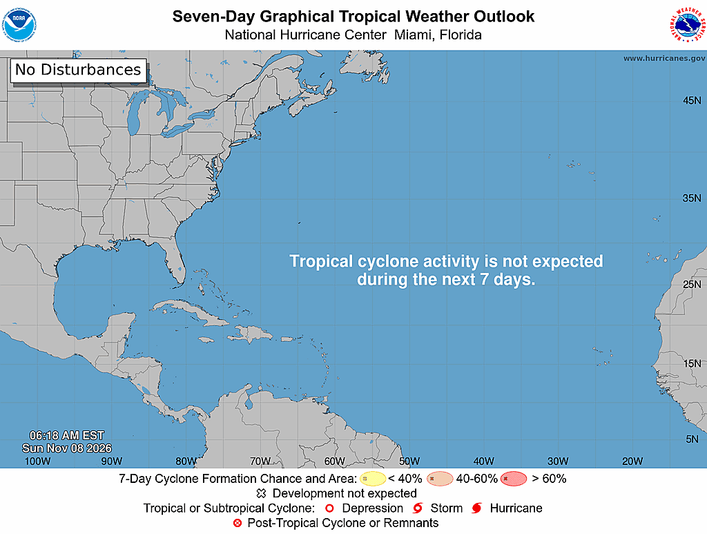
Tropical outlook
The Atlantic outlook describes development potential, not a forecast of impacts in Miami. No local hurricane impact is inferred here.
Read official source text
704
ABNT20 KNHC 081118
TWOAT

Tropical Weather Outlook
NWS National Hurricane Center Miami FL
700 AM EST Sun Nov 8 2026

For the North Atlantic...Caribbean Sea and the Gulf of America:

Tropical cyclone formation is not expected over the next 7 days.

$$
Forecaster Kelly
Miami forecast discussion
Read official source text
000
FXUS62 KMFL 081121 AAA
AFDMFL

Area Forecast Discussion...UPDATED
National Weather Service Miami FL
621 AM EST Sun Nov 8 2026

...New AVIATION...

.KEY MESSAGES...
Updated at 618 AM EST Sun Nov 8 2026

  - Drier conditions will push across most of South Florida
    through the rest of the weekend and into early this week.

  - Minor coastal flooding will continue around periods of high
    tide through the rest of the weekend and into Monday morning.

  - Chances of showers will increase during the second half of the
    week as a stronger cold front approaches and moves through the
    region. Behind the front, the coolest airmass of the season
    so far could push over the region by next weekend.

&&

.SHORT TERM...
(Today through Monday)
Issued at 201 AM EST Sun Nov 8 2026

While mid level zonal flow will continue across the region today,
weak mid level ridging will gradually start to move over the area
from the Gulf as Monday progresses. At the surface, a weakening
frontal boundary will eventually stall out just to the south of
the region today before gradually washing out tonight into
Monday. At the same time, high pressure centered to the northwest
will gradually build into the region behind the front today
through Monday. With plenty of subsidence occurring behind the
frontal boundary throughout the atmospheric column, this will
allow for PWATs to lower as they will generally range between 1.1
and 1.3 inches across most areas today into Monday. The only
exception to this will be over the extreme southern area of the
peninsula which will be closer to the front where PWAT values
will be slightly higher. The drier air mass will help to keep
mostly dry conditions in place through the rest of the weekend
and into Monday, with the only exception being a very low chance
of a passing shower or two over the extreme southern areas closer
to the front. Any shower that would develop during this time frame
would be low topped and short lived. High temperatures today and
Monday will generally rise into the lower to mid 80s, however,
some locations south of Alligator Alley could rise into the upper
80s.

&&

.LONG TERM...
(Monday night through Saturday)
Issued at 201 AM EST Sun Nov 8 2026

Weak mid level ridging remains in place across the region heading
into Tuesday while surface high pressure to the north gradually
shifts eastward. Heading into the middle of the week, the mid level
ridging will gradually start to give way to a mid level trough as a
shortwave impulse passes off to the north of the region. At the
surface, high pressure will gradually weaken over the area on
Wednesday as it pulls away to the northeast. While most of Tuesday
will remain on the drier side, some moisture advection will take
place on Wednesday as the mid level wind flow becomes more
southwesterly. This additional moisture moving into the region
may be enough to introduce a low end chance of showers during the
afternoon when instability will be maximized due to peak diurnal
heating. High temperatures both on Tuesday and Wednesday will
generally rise into the lower to mid 80s across most areas. Some
locations south of Alligator Alley in Southwest Florida may see
highs in the upper 80s each day.

Moving into the second portion of the week, the weather pattern
across the region will change as mid level troughing will rapidly
amplify over the Eastern Seaboard during this time frame. At the
surface, a developing area of low pressure will push eastward from
the Midwest into the Mid-Atlantic states and then eventually off the
Northeastern coastline during this time frame. The frontal boundary
associated with this system will gradually approach and move through
South Florida during the end of the week timeframe. Uncertainty
still remains rather high in this part of the forecast as the
global and ensemble guidance suite is still in disagreement in
regards to the timing of this frontal passage across the region.
The ECMWF suite continues to show a more progressive and faster
frontal passage while the GFS solutions do show a slower passage
through the area. While the exact details still need to be worked
out over the next several days, it does look like chances of
showers will increase heading into the Thursday and Friday
timeframe across South Florida as the front pushes through. While
thunderstorm chances look to be on the lower end at this point due
to the best dynamics and instability remaining off to the north
of the region, this will need to continue to be monitored to make
sure these trends continue.

Behind the front, strong high pressure will build back into the
region from the northwest causing winds to shift and increase
rapidly out of the west northwest as cold air advection takes
over. While uncertainty may remain high in regards to the timing
of the frontal passage during the end of the week, trends are
pointing towards below normal temperatures and much drier
conditions heading into next weekend. This will continue to be
monitored as the week progresses.

&&

.AVIATION...
(12Z TAFS)
Issued at 618 AM EST Sun Nov 8 2026

The weather will remain mostly dry across the TAF sites today into
tonight. The only exception to this is over TAFS KMIA, KOPF, and
KTMB where there could be a few showers this afternoon. However,
the coverage will be few and far between to put into the these TAF
sites. The ceiling and vis at all of the TAF sites will remain in
the VFR conditions today into tonight. Winds will mainly be northeast
today at 5 to 10 knots, except for KAPF where it should become
northwest in the afternoon hours due to the west coast sea breeze
developing.

&&

.MARINE...
Issued at 201 AM EST Sun Nov 8 2026

A gentle to moderate northeasterly breeze will develop across most
of the local waters through Monday. The exception to this will be
across the Gulf waters, where winds may become north northwesterly
each afternoon as a Gulf breeze develops. Seas across the Atlantic
waters will generally remain at 1 to 3 feet through Monday while
seas across the Gulf waters remain at 2 feet or less during this
time frame. Some isolated shower activity cannot be ruled out across
the southern Atlantic waters through Monday.

&&

.BEACHES...
Issued at 201 AM EST Sun Nov 8 2026

A moderate risk of rip currents will remain in place across the Palm
Beaches through the rest of the weekend and into the early portion
of the week. Minor coastal flooding will also remain possible
along the east coast during each high tide cycle through the rest
of the weekend and into early Monday morning due to the King Tides
associated with the upcoming new moon.

&&

.PRELIMINARY POINT TEMPS/POPS...
Miami            84  72  84  72 /  10  10  10  10
West Kendall     85  72  84  72 /  10  10  10  10
Opa-Locka        85  72  85  72 /  10  10  10   0
Homestead        85  73  84  73 /  10  10  10  10
Fort Lauderdale  83  71  83  72 /   0   0  10   0
N Ft Lauderdale  84  70  83  71 /   0   0   0   0
Pembroke Pines   86  70  85  71 /   0  10  10   0
West Palm Beach  84  69  83  70 /   0   0   0   0
Boca Raton       83  70  82  71 /   0   0   0   0
Naples           84  68  84  69 /   0   0   0  10

&&

.MFL WATCHES/WARNINGS/ADVISORIES...
FL...None.
AM...None.
GM...None.
&&

$$

SHORT TERM...CWC
LONG TERM....CWC
AVIATION...BNB
Sources and freshness
Supplementary failures do not replace missing data with reassuring conclusions. All source times below are Eastern; source metadata and original downloads are archived with this report.
Alerts · available
Source. Retrieved Nov 8, 2026 · 9:30 AM EST.
Beach · available
Source. Retrieved Nov 8, 2026 · 9:30 AM EST. Issued Nov 8, 2026 · 3:31 AM EST.
Coastal Alerts · available
Source. Retrieved Nov 8, 2026 · 9:30 AM EST.
Discussion · available
Source. Retrieved Nov 8, 2026 · 9:30 AM EST. Issued Nov 8, 2026 · 6:21 AM EST.
Forecast · available
Source. Retrieved Nov 8, 2026 · 9:30 AM EST. Issued Nov 8, 2026 · 3:32 AM EST.
Hourly · available
Source. Retrieved Nov 8, 2026 · 9:30 AM EST. Issued Nov 8, 2026 · 3:32 AM EST.
Local Radar · available
Source. Retrieved Nov 8, 2026 · 9:30 AM EST. Issued Nov 8, 2026 · 9:28 AM EST.
Marine · available
Source. Retrieved Nov 8, 2026 · 9:30 AM EST. Issued Nov 8, 2026 · 3:06 AM EST.
Mcnoldy · unavailable
Source. Retrieved Nov 8, 2026 · 9:30 AM EST. URLError: transport or certificate failure
Nhc · available
Source. Retrieved Nov 8, 2026 · 9:30 AM EST. Issued Nov 8, 2026 · 6:18 AM EST.
Observation · available
Source. Retrieved Nov 8, 2026 · 9:30 AM EST. Issued Nov 8, 2026 · 8:53 AM EST.
Regional Radar · available
Source. Retrieved Nov 8, 2026 · 9:30 AM EST. Issued Nov 8, 2026 · 9:28 AM EST.
Satellite · available
Source. Retrieved Nov 8, 2026 · 9:30 AM EST. Issued Nov 8, 2026 · 9:21 AM EST.
Tropical Tidbits · not-used
Source. Retrieved not retrieved. No current tropical context requiring this supplementary source, or the NHC input is unavailable.