Morning Miami Weather Report
Miami, November 14 — Sunny
Automated weather summary from official sources; factual templates with validated source timestamps. Follow NWS Miami and NHC for current guidance.
Late report: current weather data were collected at the publication time below, rather than early this morning.
Forecast for Miami / Brickell
Today: 72°F. Sunny. Wind 13 mph N. Rain chance: 0%.
Sunny, with a high near 72. North wind around 13 mph.
Tonight: Partly cloudy, with a low around 64. North wind around 13 mph.
Hourly forecast — rain chances and timing
| Eastern time | Temperature | Rain chance | Wind | Forecast |
|---|---|---|---|---|
| Nov 14, 2026 · 11:00 AM EST | 69°F | 0% | 13 mph N | Sunny |
| Nov 14, 2026 · 12:00 PM EST | 70°F | 0% | 12 mph N | Mostly Sunny |
| Nov 14, 2026 · 1:00 PM EST | 70°F | 0% | 12 mph N | Mostly Sunny |
| Nov 14, 2026 · 2:00 PM EST | 71°F | 0% | 12 mph N | Sunny |
| Nov 14, 2026 · 3:00 PM EST | 71°F | 0% | 10 mph N | Sunny |
| Nov 14, 2026 · 4:00 PM EST | 71°F | 0% | 10 mph N | Sunny |
| Nov 14, 2026 · 5:00 PM EST | 70°F | 0% | 10 mph N | Sunny |
| Nov 14, 2026 · 6:00 PM EST | 69°F | 0% | 10 mph N | Mostly Clear |
| Nov 14, 2026 · 7:00 PM EST | 68°F | 1% | 10 mph N | Mostly Clear |
| Nov 14, 2026 · 8:00 PM EST | 68°F | 1% | 12 mph N | Partly Cloudy |
| Nov 14, 2026 · 9:00 PM EST | 67°F | 1% | 12 mph N | Partly Cloudy |
| Nov 14, 2026 · 10:00 PM EST | 67°F | 1% | 12 mph N | Partly Cloudy |
| Nov 14, 2026 · 11:00 PM EST | 66°F | 1% | 12 mph N | Partly Cloudy |
Observed nearby
Miami International Airport (KMIA), Nov 14, 2026 · 11:40 AM EST: Clear. Temperature 68°F; wind 6 mph. This airport observation does not measure conditions at your exact location in Brickell.
Alerts and outdoor plans
Miami / Brickell: no active alerts returned by the official query at collection time. This is not a statement that conditions are safe.
Biscayne Bay and the Miami-Dade coast: no active alerts returned by the official query at collection time. This is not a statement that conditions are safe.
Running: Use the temperature, rain and wind forecast above to plan your window. If thunderstorms are forecast or you hear thunder, postpone outdoor activity and seek a substantial building. This briefing does not certify a safe running window.
Paddleboarding — official Biscayne Bay forecast
Today: N winds 10 to 15 kt (17 mph). A moderate chop.
Tonight: N winds 10 to 15 kt (17 mph). A moderate chop.
Sun: NE winds 10 to 15 kt (17 mph). A moderate chop.
Wind speeds in the source use knots (1 knot = 1.151 mph). Check current marine alerts and local conditions before launching; no safe launch window is inferred.
Official coastal Miami-Dade beach and rip-current guidance
FLZ173-142200-
Coastal Miami-Dade-
Including the beaches of Miami
311 AM EST Sat Nov 14 2026

.TODAY...
Rip Current Risk*...........Low.
Surf Height.................1 foot or less.
Thunderstorm Potential**....None.
Waterspout Risk**...........None.
UV Index**..................High.
Water Temperature...........In the lower 80s.
Weather.....................Sunny.
High Temperature............In the lower 70s.
Winds.......................North winds around 10 mph.
Tides...
   Miami Harbor Entrance....High at 11:39 AM EST.
                            Low at 05:25 PM EST.
Sunrise.....................6:37 AM.
Sunset......................5:33 PM.

.SUNDAY...
Rip Current Risk*...........Moderate.
Surf Height.................1 to 2 feet.
Thunderstorm Potential**....None.
Waterspout Risk**...........None.
Weather.....................Partly sunny until 9 AM, then sunny.
High Temperature............In the upper 70s.
Winds.......................Northeast winds around 10 mph.
Tides...
   Miami Harbor Entrance....High at 12:24 PM EST.
Sunrise.....................6:38 AM.
Sunset......................5:32 PM.

&&

Rip Current Risk Category
* Low Risk - The risk for rip currents is low, however,
life-threatening rip currents often occur in the vicinity of groins,
jetties, reefs, and piers.
* Moderate Risk - Life-threatening rip currents are possible in the
surf zone.
* High Risk - Life-threatening rip currents are likely in the surf
zone.

** For thunderstorm, waterspout, and UV definitions see:
https://www.weather.gov/beach/mfl
Satellite and radar
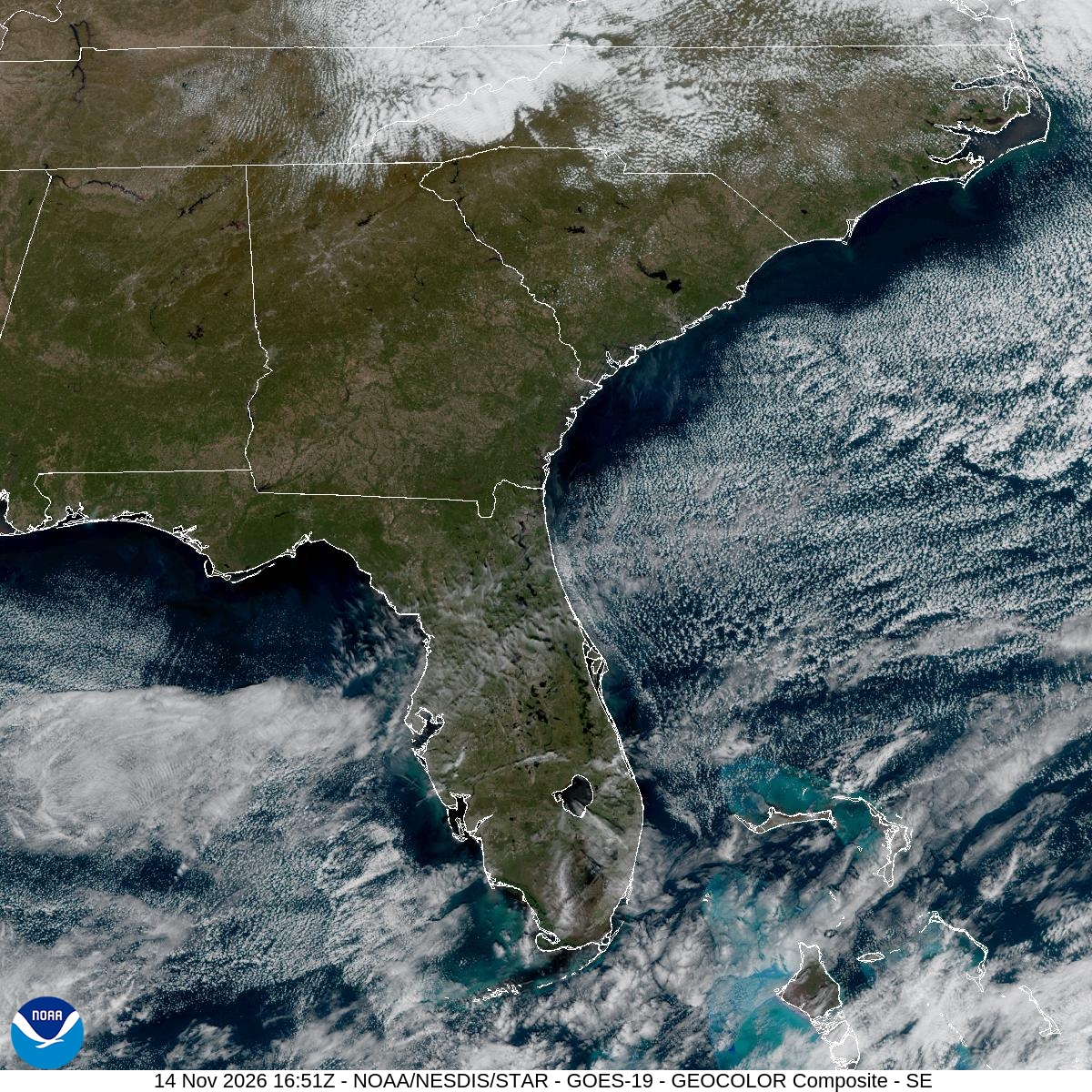
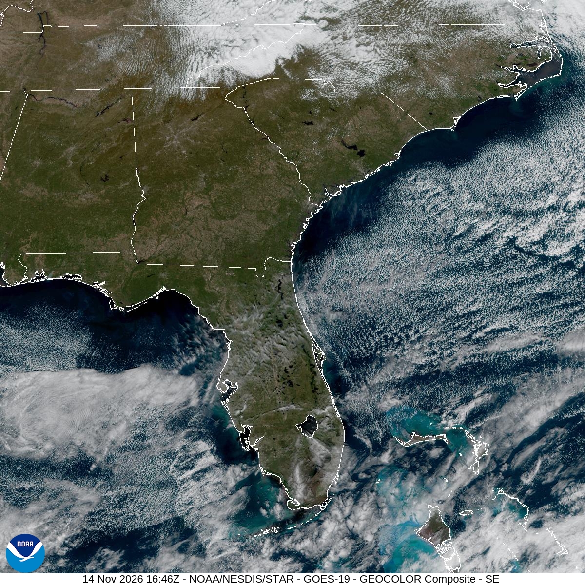
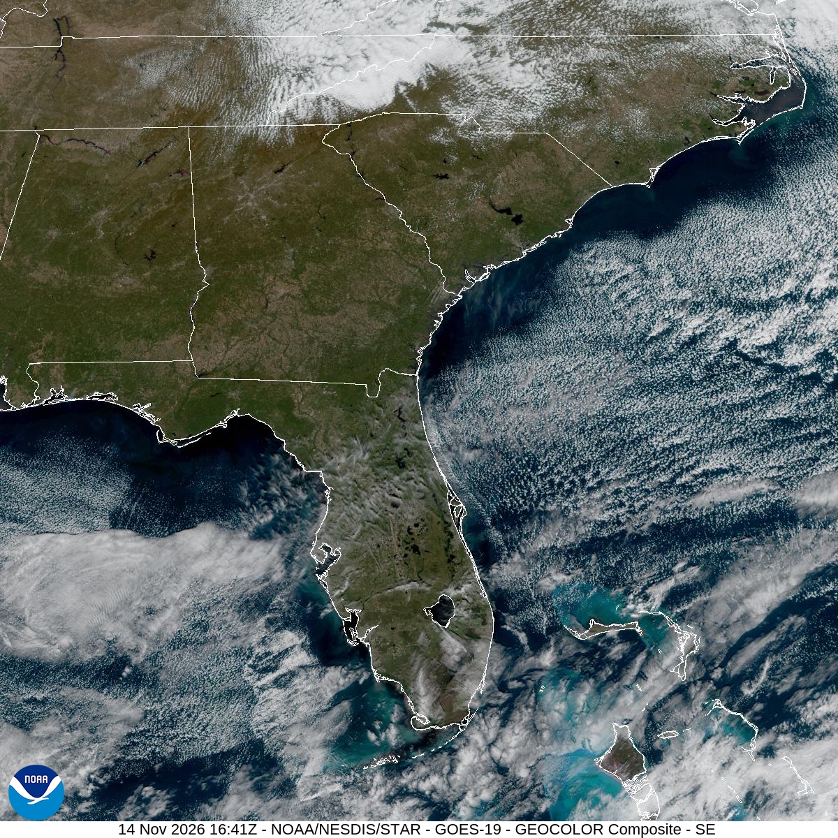
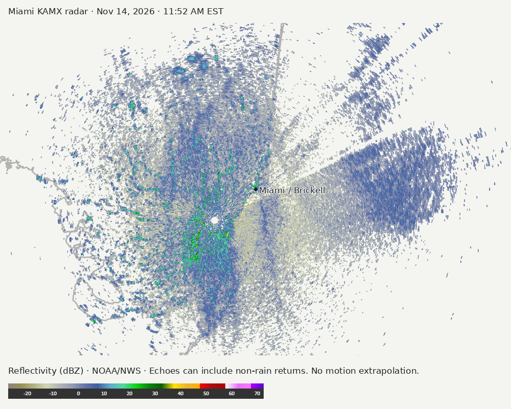
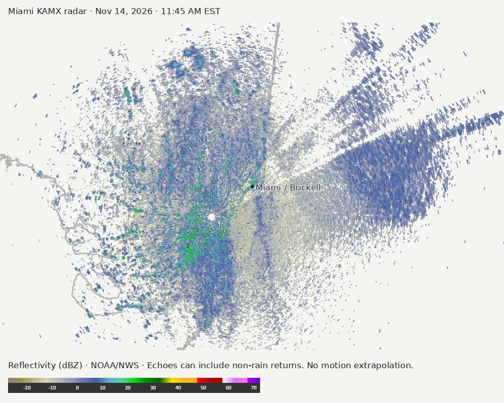
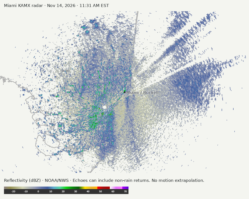
Archived frames show what the instruments captured at their labeled times. Radar echoes can include non-rain returns. No movement or future arrival is inferred automatically from these frames.
Southeast GeoColor satellite
GeoColor shows the Southeast, including Florida. The timestamped sequence below preserves cloud detail without automatically interpreting cloud cover at street level.

Earlier timestamped frames


Detailed Miami radar — official KAMX fallback
Colored reflectivity echoes are concentrated southwest of Miami relative to Miami in the latest frame. These are echo locations, not confirmation of rain at the surface.
Earlier timestamped frames
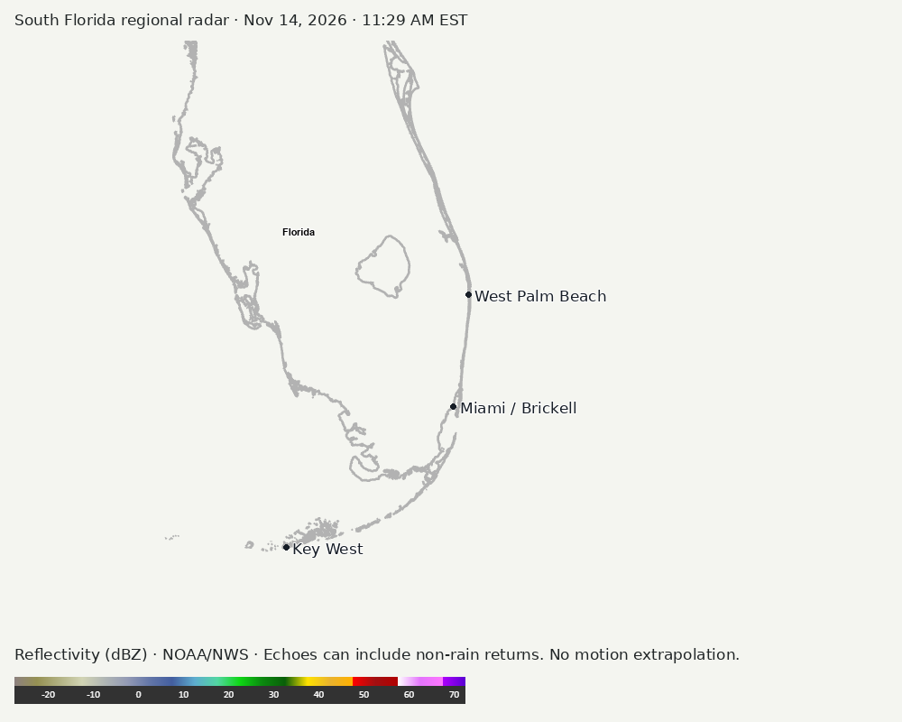
Regional South Florida radar
The automatic echo-location check could not assign a reliable region. Inspect the image; this does not mean conditions are clear.
Earlier timestamped frames
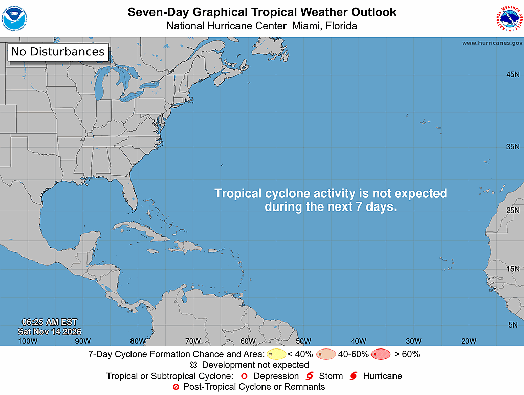
Tropical outlook
The Atlantic outlook describes development potential, not a forecast of impacts in Miami. No local hurricane impact is inferred here.
Read official source text
000
ABNT20 KNHC 141124
TWOAT

Tropical Weather Outlook
NWS National Hurricane Center Miami FL
700 AM EST Sat Nov 14 2026

For the North Atlantic...Caribbean Sea and the Gulf of America:

Tropical cyclone formation is not expected during the next 7 days.

$$
Forecaster Papin
Miami forecast discussion
Read official source text
000
FXUS62 KMFL 141052
AFDMFL

Area Forecast Discussion
National Weather Service Miami FL
552 AM EST Sat Nov 14 2026

...New AVIATION...

.KEY MESSAGES...
Updated at 551 AM EST Sat Nov 14 2026

  - Below average temperatures and dry weather are in the forecast
    for all of South Florida today.

  - Breezy northwesterly winds will result in cautionary to
    hazardous marine conditions across the local Gulf & Atlantic
    waters through late this morning.

  - A prolonged period of dangerous marine and beach conditions
    may occur across the region beginning early next week.

&&

.SHORT TERM...
(Today through Sunday)
Issued at 114 AM EST Sat Nov 14 2026

We have already begun to feel the arrival of a crisp, continental
air mass across South Florida early this morning as a cold front,
currently located just south of the Florida Keys and west of Andros
Island, has ushered in much drier conditions in its wake with dew
points having dropped into the 50s across practically all of South
Florida and into the 60s across the Keys. Looking at the large-scale
synoptic pattern, a deep and profound trough is churning over the
eastern U.S. with 500-mb height anomalies near its base falling
within the 0.5 and minimum climatological percentiles for the date
according to the NAEFS (combination of 31 GEFS and 21 GEPS
members). The REFS has these anomalies a tad bit higher within the
whopping 1st percentile for climatology, but clearly an anomalously
strong trough that is near or at record intensity for Mid-November
standards. Over the central U.S. and extending northward into
Central Canada, an equally vigorous upper-level ridge of high
pressure with 500-mb geopotential heights lying within the maximum
climatological percentile for the date according to NAEFS and near
the 99th percentile as per the REFS has helped to aid the climatical
augmentation of the downstream trough.

Just off the coast of New England, both the NT (nighttime)
microphysics ABI (Advanced Baseline Imager) satellite band as well
as the latest ASCAT 25km descending pass reveal a counterclockwise-
swirling area of surface low pressure within the existing low-level
cumulus field that has developed beneath bountiful upper-level
divergence within the left exit region of a screaming jet streak
that features wind speeds aloft of 140-170 kts, which is above the
99th percentile on both the REFS and NAEFS CFSR (Climate Forecast
System Reanalysis) 1979-2009 climatology. With this low pressure
system is an attendant cold front that can be observed extending
down along the Eastern Seaboard of the U.S. into north-central
Florida and stretching into the northern Gulf. This feature is
difficult to identify via RTMA surface winds, but can be more easily
pinpointed through a locally tight isodrosothermic gradient that is
derived by mesoscale surface parameters in and around north-central
Florida. As previously mentioned, although we have already noticed
an intrusion of drier, cooler air here in South Florida from the
passage of our initial strong cold front that is now situated to our
south, this secondary boundary will gradually work its way down the
rest of the Florida peninsula and ultimately help bring a
reinforcing shot of arid, refreshing air from the continent. This is
supported by high resolution model guidance that illustrates a
secondary push of lower, 40-degree dew points arriving at the Lake
Okeechobee region shortly before or around daybreak today and later
overspreading the rest of South Florida into the afternoon hours.

We will be waking up to temperatures generally in the widespread 50s
across South Florida today. Probabilities of achieving lows below 50
degrees to the west of Lake Okeechobee have dropped on both the
National Blend of Models (NBM) and the LREF from around 30-35% and
35-40% yesterday to 25-30% and 20-25% today, respectively. High
temperatures will be up to 10 degrees below average for this time of
year, only climbing into the mid to upper 60s across Lake Okeechobee
and interior portions of South Florida and into the low 70s across
both of our west and east coast metros. Infrared (IR) satellite
observations this morning insist that although we have little to no
low-level clouds present across South Florida, we have continued to
have a recurrence of mid to upper-level clouds as they stream into
the peninsula from southwest to northeast along our persistently
strong subtropical jet stream flow aloft. Forecast RAP soundings via
the SPC mesoanalysis page that go out through the next 6 hours show
an acute amount of dry air in the vertical column with some upper-
level saturation still associated with the nearby presence of the
moist subtropical jet. Subsequently proceeding with the operational
RAP and other mesoscale models such as the HRRR and surprisingly the
rejuvenated version of the NAM (now recognized as the "WOOF-NAM"),
it is determined that this immensely dry layer within the first 5
kilometers of the atmosphere or so will stay in place throughout the
day Saturday with at least some form of lingering mid to upper-level
saturation at or around 6 kilometers. With northwesterly winds this
morning expected to veer generally out of the north at around 5-15
mph later today (and thus removing any maritime influence of cloud
advection), we are not expecting many clouds of the "puffy" variety
(cumulus), but rather of the wispy, feathery kind in the form of
perhaps alto or cirrus clouds. Nonetheless, plenty of sunshine will
be expected across South Florida today with Fall in full effect.
PWATs will be as low as 0.4-0.7" (which are below the 10th
percentile) regionwide, so to say we are dry is an understatement.
All in all, we shouldn't even be thinking about rain in the
slightest.

A second injection of upper-level dry air on Sunday will look to
thrust the moist conveyor belt that is the subtropical jet far
enough to the south to where we will lose this saturation in the mid
to upper-levels and inversely increase our low-level moisture
content ever-so-slightly with our surface flow quickly veering off
the ocean again and becoming east-northeasterly. This will be in
response to a ridge axis of continental high pressure shifting
eastward from the Mid to Upper-Missisissippi River Valley today
closer to the vicinity of the Midwest. We will also see an
intensification of this surface ridge, with MSLPs around much of the
Midwest and Great Lakes region rising to values greater than 10 hPa
above normal as per CFSR 1981-2010 climatology. This places it
within the 95th and 90-97th percentiles according to the REFS and
NAEFS, respectively.

This wind shift will not occur, however, until Sunday afternoon,
meaning that with the continuation of light northerly flow into
Sunday morning, we should be expecting low temperatures to remain
chilly for South Florida standards. With this overall flow pattern
inherently favoring peninsular drainage across South Florida as the
pre-existing cooler air further north is able to filter down into
our region more effectively, we are forecasting lows to be a few
degrees colder around Lake Okeechobee and over Southwest Florida.
There could be some lingering high cloud cover as per high-res
mesoscale model guidance that could slightly prevent maximum
radiational cooling from occurring, but nonetheless we are
foreseeing Sunday wake-up temperatures to drop into the upper 40s
west of Lake O and low to mid 50s over the interior and Southwest
Florida. Our east coast metros will be experiencing lows similar to
this morning's, in the upper 50s/low 60s. With our aforementioned
surface wind flow shifting to an east-northeasterly direction for
Sunday afternoon, our high temperatures, as a result, will begin to
moderate and climb back to just slightly below average values into
the mid to upper 70s mainly area-wide to near 80 degrees over the
southern half of our region. Rightfully excluding the minimal amount
of low-level moisture that we could achieve on Sunday with this
onshore wind component, it should be another gorgeous day across
South Florida with just a few shallow-layer cumulus clouds (yes, the
puffy kind!) streaming in from the Atlantic throughout the day.
Goose eggs in the way of PoPs should again be the expectation across
our region with PWATs slowly climbing back into the 0.7 to 1" range
but still remaining within the 20th and 30th percentiles for the
date.

&&

.LONG TERM...
(Sunday night through Friday)
Issued at 114 AM EST Sat Nov 14 2026

OVERVIEW...

Blustery weather is on tap for South Florida during much of the
upcoming work week as a collection of atmospheric features set the
stage for a prolonged period of gusty northeasterly flow. Outside of
quick moving shower activity and gusty conditions across the land
areas of South Florida proper, a prolonged duration of dangerous
marine (Atlantic, Gulf, and Biscayne Bay waters) and beach
conditions (Palm Beach, Broward, and Miami-Dade counties) could
materialize across our local waters and coastal portions of South
Florida for much of the work week.

EARLY WORK WEEK...

The full suite of ensemble and deterministic model guidance remain
steadfast in depicting a robust mid-level shortwave accelerating
southeastward from the Southern Plains into the Lower Mississippi
Valley and eventually across the northern Gulf Coast during the day
on Monday. The orientation of the sub-tropical jet stream and a
maxima of upper-level divergence out ahead of the short-wave axis
continues to be resolved by model guidance in initiating the
development of an area of surface low pressure across the western
Gulf waters during this time frame. While this feature is forecast
to remain well to the west of South Florida on Monday, a
strengthening pressure gradient (Between the surface low in the
western Gulf and surface high across the eastern contiguous United
States) is still being depicted by model guidance to result in gusty
conditions and gradual moisture advection into the region on Monday.
While the airmass over South Florida will still be in the process of
moderating, gusty NErly to ENErly flow will support the threat of
low-topped shower activity moving onshore along the east coast of
South Florida during the afternoon hours. Forecasted high
temperatures will also continue on an gradual upward trajectory with
forecast high temps in the upper 70s to low 80s.

As the mid-level shortwave slides southeastward across the
northeastern Gulf waters on Tuesday, the accompanying area of
surface low pressure is modeled to do so in tandem, moving briskly
across the central Gulf waters. The overall trend has definitely
been in a favorable direction (for us here in South Florida) over
the past 48 hours as the majority of model solutions have remained
firm in maintaining a more southern trajectory of the mid-level
shortwave. This has had direct implications in keeping the track of
the associated surface low and frontal boundaries also further to
the south of our region. Ensemble guidance (ECMWF, GEFS, and CMCE)
has also come into better agreement as far as timing and placement
of the shortwave as variance between 500mb EOF clusters has
continued to decrease. This southward shift in the track of the
surface low has resulted in lower forecasted precipitation amounts
across South Florida as deterministic, ensemble mean, and ensemble
clusters all now depict the highest precipitation amounts through
Tuesday night; mainly confined to the eastern Gulf waters and across
the northwestern Bahamas as opposed to the land areas of South
Florida.

MID TO LATE WORK WEEK...

By Wednesday, the axis of the aforementioned mid-level shortwave is
forecast to elongate and reside across the western Atlantic waters.
A poleward jet-streak is depicted by model guidance to remain over
the western Atlantic waters & northwestern Bahamas, with the right
entrance region (upper level divergence & low level convergence)
residing in the same general vicinity. What had been relatively good
agreement in model guidance up until this point, finally splits in
conceptual thought with different solutions. The GEFS &
deterministic GFS show the resultant development and deepening of a
surface low pressure system underneath the jet-streak across the
northwestern and central Bahamas, with the feature accelerating to
the northeast during the remainder of the work week. Alternatively,
the ECWMF & ECENS depict a continuation of surface ridging (no sign
of surface low development) across the western Atlantic waters with
periodic surface wind surges out of the northeast. Uncertainty
remains high during this period as these different model solutions
vary greatly. The development of a surface low (GFS/GEFS solution)
to our southeast could usher in a reinforcing surge of continental
dry air via cyclonic northerly surface flow as it lifts further away
from the region which may act to preclude any potential of higher
forecasted rain chances. This will continued to be evaluated as we
approach the mid to late week period. The modification of the
airmass in place across South Florida is forecast to continue which
will result in a continuation of a gradual warming trend across the
region with maximum temperatures forecast to reach the low to mid
80s each afternoon during the mid to late week period.

&&

.AVIATION...
(12Z TAFS)
Issued at 551 AM EST Sat Nov 14 2026

VFR through the 12Z period. NW winds around 10 kts with NNE winds
expected at APF. Light and variable tonight and overnight.

&&

.MARINE...
Issued at 114 AM EST Sat Nov 14 2026

A fresh to strong northwesterly wind flow will be in place across
the Atlantic waters this morning, decreasing to a gentle to moderate
breeze during the afternoon hours and continuing into Sunday. A
moderate to fresh northerly wind flow will be in place across the
Gulf waters, becoming a northeasterly wind across all local waters
on Sunday. Seas across the Atlantic waters today will be between 4-7
feet with seas across the Gulf waters remaining in the 2-4 feet
range. Seas decrease to 3-5 feet across the Atlantic on Sunday and
to 2-3 feet across the Gulf but increase once again into early next
week as winds increase across the region.

&&

.PRELIMINARY POINT TEMPS/POPS...
Miami            72  60  79  69 /   0   0   0   0
West Kendall     73  59  80  67 /   0   0   0   0
Opa-Locka        73  59  80  68 /   0   0   0   0
Homestead        74  60  80  70 /   0   0   0   0
Fort Lauderdale  72  60  78  69 /   0   0   0   0
N Ft Lauderdale  71  59  79  68 /   0   0   0   0
Pembroke Pines   73  58  80  67 /   0   0   0   0
West Palm Beach  71  58  78  67 /   0   0   0   0
Boca Raton       71  59  78  68 /   0   0   0   0
Naples           71  55  78  62 /   0   0   0   0

&&

.MFL WATCHES/WARNINGS/ADVISORIES...
FL...None.
AM...Small Craft Advisory until 11 AM EST this morning for AMZ650-651-
     670-671.

GM...None.
&&

$$

SHORT TERM...AD
LONG TERM....Hadi
AVIATION...CMF
Sources and freshness
Supplementary failures do not replace missing data with reassuring conclusions. All source times below are Eastern; source metadata and original downloads are archived with this report.
Alerts · available
Source. Retrieved Nov 14, 2026 · 11:59 AM EST.
Beach · available
Source. Retrieved Nov 14, 2026 · 11:59 AM EST. Issued Nov 14, 2026 · 3:11 AM EST.
Coastal Alerts · available
Source. Retrieved Nov 14, 2026 · 11:59 AM EST.
Discussion · available
Source. Retrieved Nov 14, 2026 · 11:59 AM EST. Issued Nov 14, 2026 · 5:52 AM EST.
Forecast · available
Source. Retrieved Nov 14, 2026 · 11:59 AM EST. Issued Nov 14, 2026 · 10:17 AM EST.
Hourly · available
Source. Retrieved Nov 14, 2026 · 11:59 AM EST. Issued Nov 14, 2026 · 10:17 AM EST.
Local Radar · available
Source. Retrieved Nov 14, 2026 · 11:59 AM EST. Issued Nov 14, 2026 · 11:52 AM EST.
Marine · available
Source. Retrieved Nov 14, 2026 · 11:59 AM EST. Issued Nov 14, 2026 · 2:31 AM EST.
Mcnoldy · link-only
Source. Retrieved Nov 14, 2026 · 11:59 AM EST. Original image reuse has not been authorized; official KAMX imagery is used instead.
Nhc · available
Source. Retrieved Nov 14, 2026 · 11:59 AM EST. Issued Nov 14, 2026 · 6:24 AM EST.
Observation · available
Source. Retrieved Nov 14, 2026 · 11:59 AM EST. Issued Nov 14, 2026 · 11:40 AM EST.
Regional Radar · available
Source. Retrieved Nov 14, 2026 · 11:59 AM EST. Issued Nov 14, 2026 · 11:58 AM EST.
Satellite · available
Source. Retrieved Nov 14, 2026 · 11:59 AM EST. Issued Nov 14, 2026 · 11:51 AM EST.
Tropical Tidbits · not-used
Source. Retrieved not retrieved. No current tropical context requiring this supplementary source, or the NHC input is unavailable.