Morning Miami Weather Report
Miami, November 15 — Sunny
Automated weather summary from official sources; factual templates with validated source timestamps. Follow NWS Miami and NHC for current guidance.
Late report: current weather data were collected at the publication time below, rather than early this morning.
Forecast for Miami / Brickell
Today: 79°F. Sunny. Wind 13 mph NE. Rain chance: 5%.
Sunny, with a high near 79. Northeast wind around 13 mph.
Tonight: Mostly clear, with a low around 73. Northeast wind around 14 mph, with gusts as high as 18 mph.
Hourly forecast — rain chances and timing
| Eastern time | Temperature | Rain chance | Wind | Forecast |
|---|---|---|---|---|
| Nov 15, 2026 · 10:00 AM EST | 72°F | 0% | 10 mph N | Sunny |
| Nov 15, 2026 · 11:00 AM EST | 74°F | 0% | 10 mph N | Sunny |
| Nov 15, 2026 · 12:00 PM EST | 76°F | 0% | 12 mph NE | Sunny |
| Nov 15, 2026 · 1:00 PM EST | 77°F | 0% | 12 mph NE | Sunny |
| Nov 15, 2026 · 2:00 PM EST | 78°F | 0% | 12 mph NE | Sunny |
| Nov 15, 2026 · 3:00 PM EST | 78°F | 2% | 12 mph NE | Sunny |
| Nov 15, 2026 · 4:00 PM EST | 79°F | 4% | 12 mph NE | Sunny |
| Nov 15, 2026 · 5:00 PM EST | 77°F | 5% | 13 mph NE | Sunny |
| Nov 15, 2026 · 6:00 PM EST | 77°F | 7% | 12 mph NE | Mostly Clear |
| Nov 15, 2026 · 7:00 PM EST | 76°F | 9% | 12 mph NE | Mostly Clear |
| Nov 15, 2026 · 8:00 PM EST | 75°F | 9% | 13 mph NE | Mostly Clear |
| Nov 15, 2026 · 9:00 PM EST | 75°F | 8% | 13 mph NE | Mostly Clear |
| Nov 15, 2026 · 10:00 PM EST | 75°F | 8% | 13 mph NE | Mostly Clear |
| Nov 15, 2026 · 11:00 PM EST | 75°F | 7% | 13 mph E | Clear |
Observed nearby
Miami International Airport (KMIA), Nov 15, 2026 · 10:00 AM EST: Clear. Temperature 72°F; wind 6 mph. This airport observation does not measure conditions at your exact location in Brickell.
Alerts and outdoor plans
Miami / Brickell: no active alerts returned by the official query at collection time. This is not a statement that conditions are safe.
Biscayne Bay and the Miami-Dade coast: no active alerts returned by the official query at collection time. This is not a statement that conditions are safe.
Running: Use the temperature, rain and wind forecast above to plan your window. If thunderstorms are forecast or you hear thunder, postpone outdoor activity and seek a substantial building. This briefing does not certify a safe running window.
Paddleboarding — official Biscayne Bay forecast
Today: NE winds 10 to 15 kt (17 mph). A moderate chop.
Tonight: NE winds 10 to 15 kt (17 mph). A moderate chop.
Mon: NE winds 10 to 15 kt (17 mph), increasing to 15 to 20 kt (23 mph) in the afternoon. Choppy.
Wind speeds in the source use knots (1 knot = 1.151 mph). Check current marine alerts and local conditions before launching; no safe launch window is inferred.
Official coastal Miami-Dade beach and rip-current guidance
FLZ173-152200-
Coastal Miami-Dade-
Including the beaches of Miami
326 AM EST Sun Nov 15 2026

.TODAY...
Rip Current Risk*...........Moderate.
Surf Height.................1 to 2 feet.
Thunderstorm Potential**....None.
Waterspout Risk**...........None.
UV Index**..................Moderate.
Water Temperature...........In the upper 70s.
Weather.....................Sunny.
High Temperature............In the upper 70s.
Winds.......................Northeast winds around 10 mph.
Tides...
   Miami Harbor Entrance....High at 12:24 PM EST.
Sunrise.....................6:38 AM.
Sunset......................5:32 PM.

.MONDAY...
Rip Current Risk*...........High.
Surf Height.................2 to 3 feet.
Thunderstorm Potential**....None.
Waterspout Risk**...........None.
Weather.....................Sunny.
High Temperature............Around 80.
Winds.......................Northeast winds around 15 mph.
Tides...
   Miami Harbor Entrance....Low at 06:29 AM EST.
                            High at 01:13 PM EST.
Sunrise.....................6:38 AM.
Sunset......................5:32 PM.

&&

Rip Current Risk Category
* Low Risk - The risk for rip currents is low, however,
life-threatening rip currents often occur in the vicinity of groins,
jetties, reefs, and piers.
* Moderate Risk - Life-threatening rip currents are possible in the
surf zone.
* High Risk - Life-threatening rip currents are likely in the surf
zone.

** For thunderstorm, waterspout, and UV definitions see:
https://www.weather.gov/beach/mfl
Satellite and radar
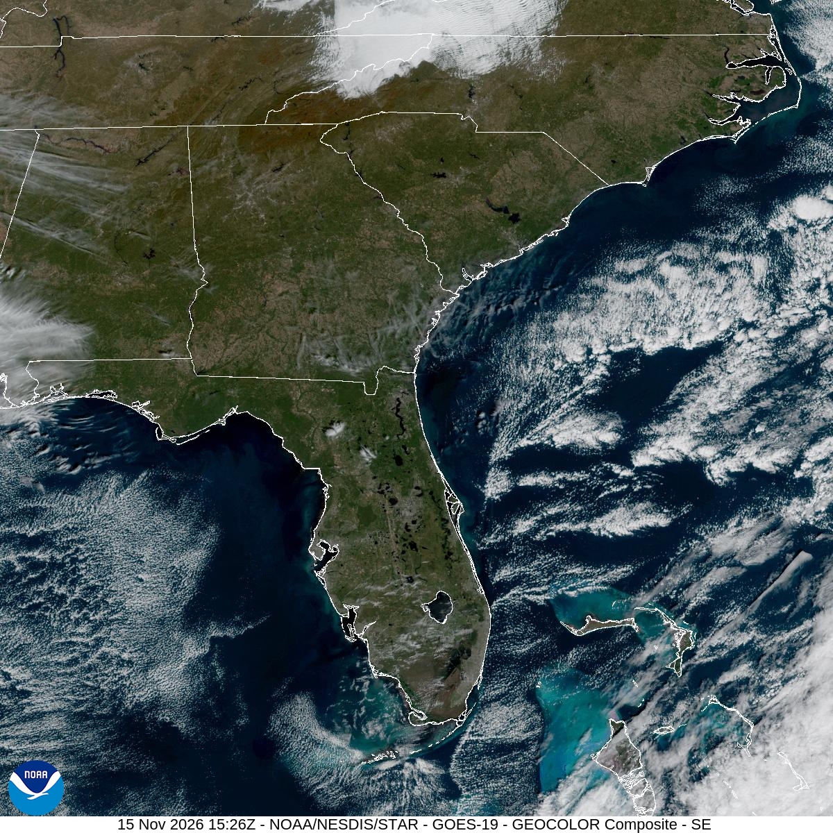
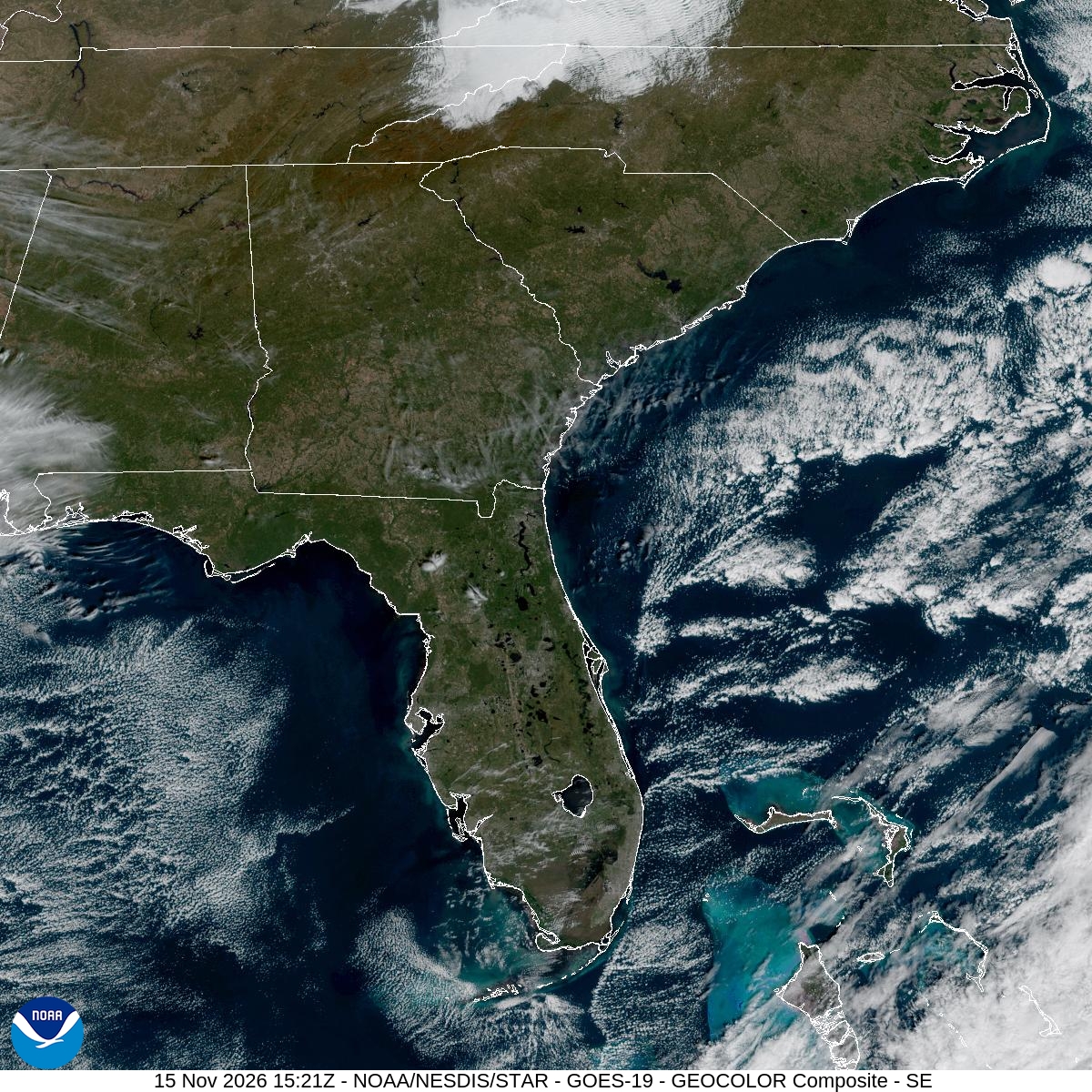
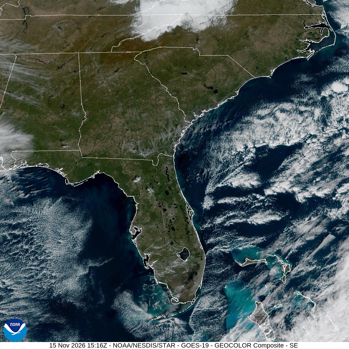
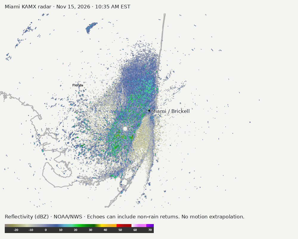
Archived frames show what the instruments captured at their labeled times. Radar echoes can include non-rain returns. No movement or future arrival is inferred automatically from these frames.
Southeast GeoColor satellite
GeoColor shows the Southeast, including Florida. The timestamped sequence below preserves cloud detail without automatically interpreting cloud cover at street level.

Earlier timestamped frames


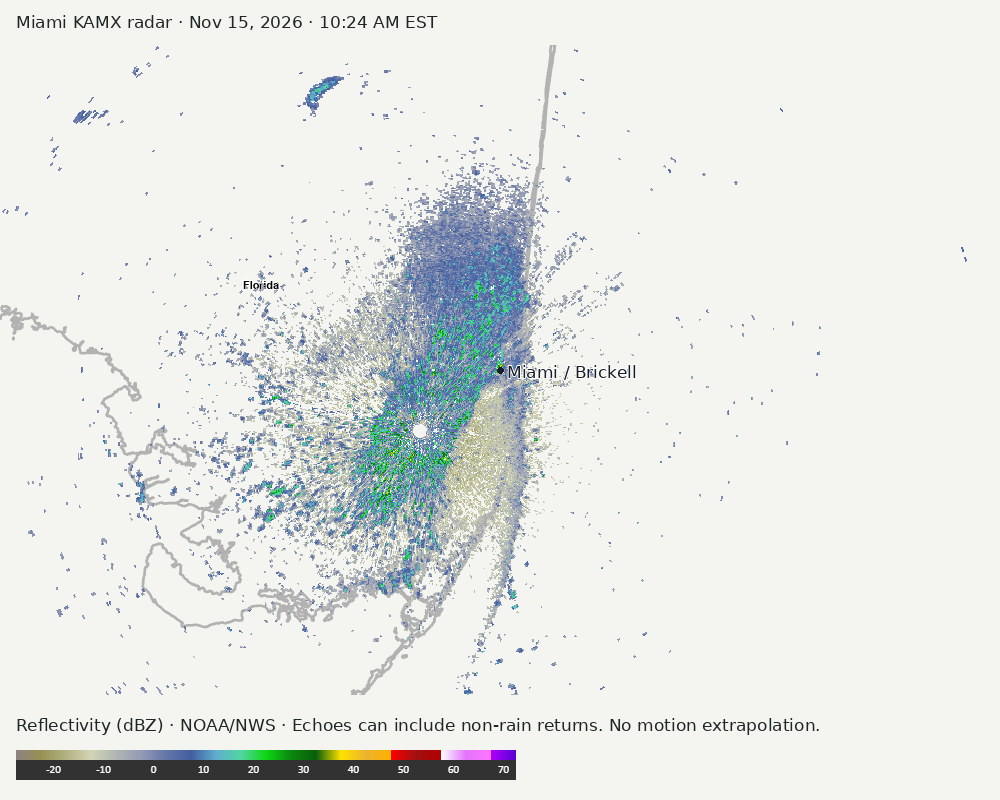
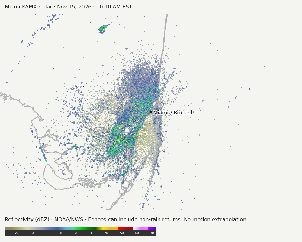
Detailed Miami radar — official KAMX fallback
Colored reflectivity echoes are concentrated southwest of Miami relative to Miami in the latest frame. These are echo locations, not confirmation of rain at the surface.
Earlier timestamped frames
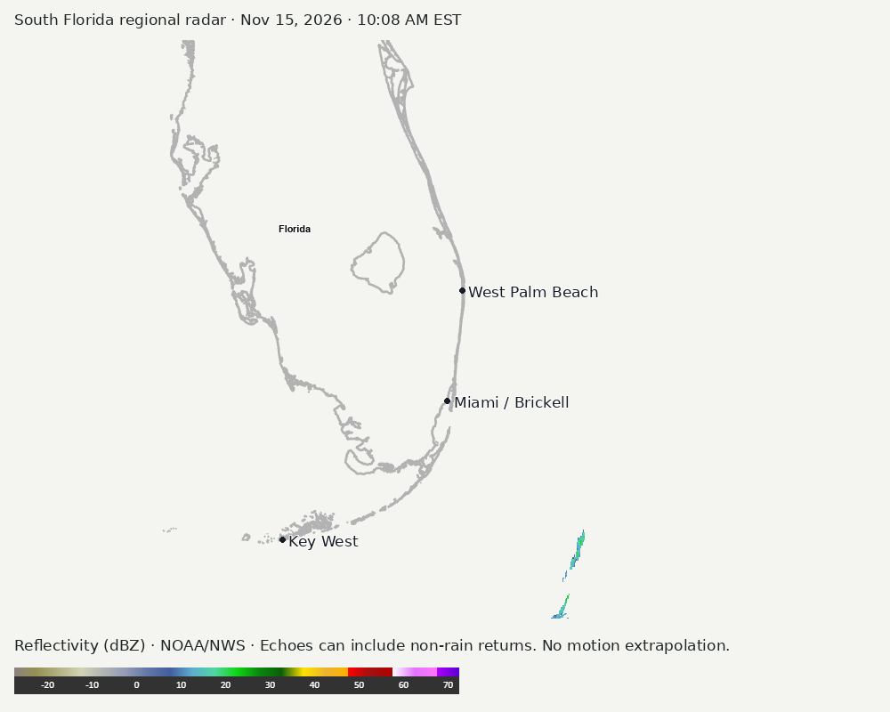
Regional South Florida radar
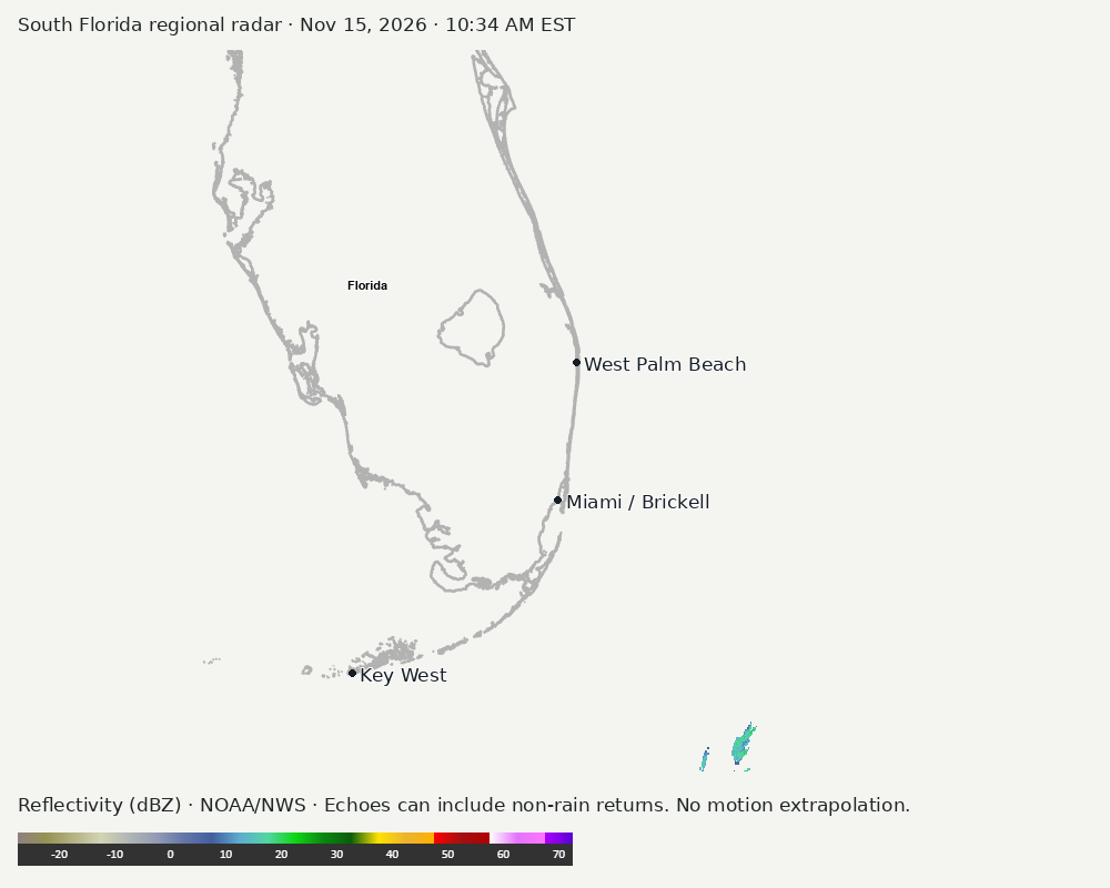
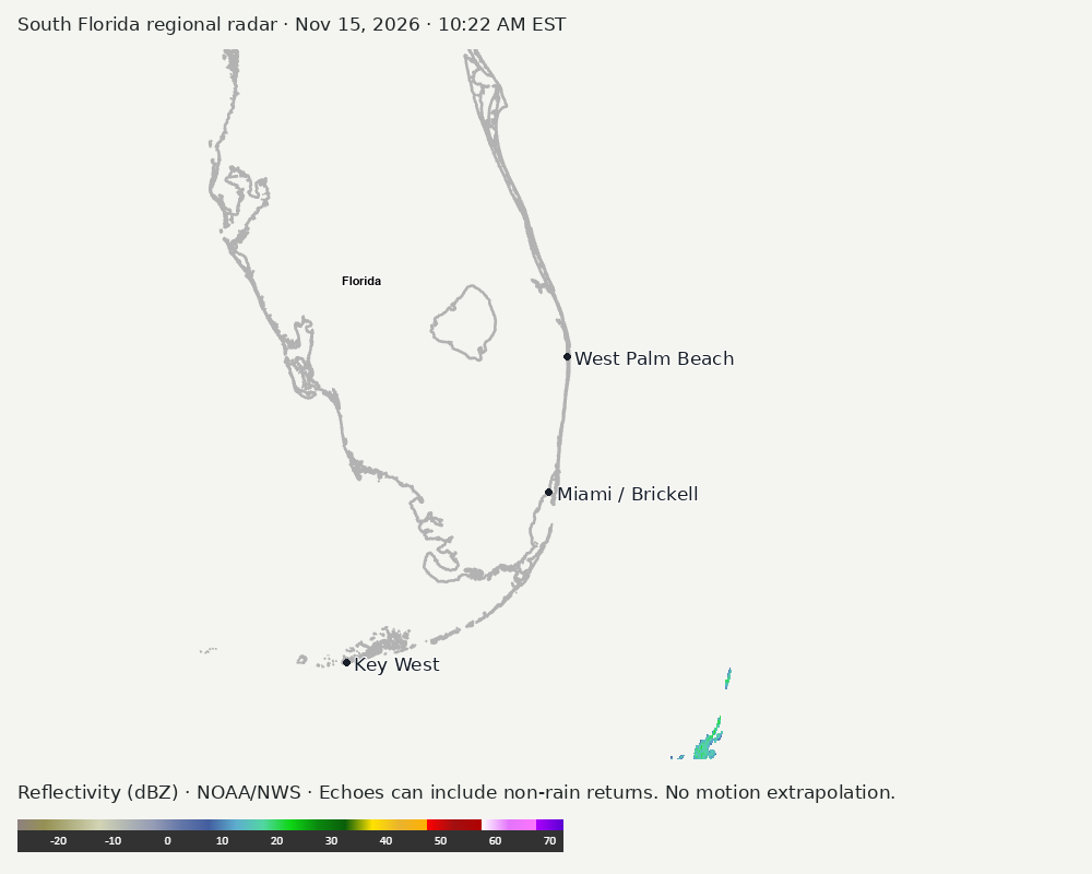
The automatic echo-location check could not assign a reliable region. Inspect the image; this does not mean conditions are clear.
Earlier timestamped frames
Tropical outlook
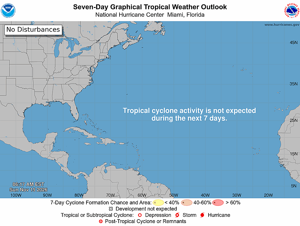
The Atlantic outlook describes development potential, not a forecast of impacts in Miami. No local hurricane impact is inferred here.
Read official source text
000
ABNT20 KNHC 151118
TWOAT

Tropical Weather Outlook
NWS National Hurricane Center Miami FL
700 AM EST Sun Nov 15 2026

For the North Atlantic...Caribbean Sea and the Gulf of America:

Tropical cyclone formation is not expected during the next 7 days.

$$
Forecaster Papin
Miami forecast discussion
Read official source text
000
FXUS62 KMFL 151042
AFDMFL

Area Forecast Discussion
National Weather Service Miami FL
542 AM EST Sun Nov 15 2026

...New AVIATION...

.KEY MESSAGES...
Updated at 538 AM EST Sun Nov 15 2026

  - A shift of surface winds to a northeasterly direction this
    afternoon will moderate temperatures, increase cloud cover,
    and bring low end rain chances to the Palm Beaches tonight.

  - A prolonged period of dangerous marine and beach conditions
    may occur across the region beginning on Monday.

  - While confidence remains low, increasing shower and
    thunderstorm chances could bring periods of heavy rain to the
    east coast of South Florida beginning on Tuesday.

&&

.SHORT TERM...
(Today through Monday)
Issued at 241 AM EST Sun Nov 15 2026

South Florida remains entrenched in a cool and dry post-frontal air
mass as we saw low temperatures yesterday morning drop into the low
50s around Lake Okeechobee and over the interior and into the upper
50s/low 60s across our Naples and east coast metros. According to
WPC's latest surface analysis, a 1027-1028 mb surface ridge of
continental high pressure continues to be centered a little over
1,000 miles to our northwest over the Mid to Upper Mississippi River
Valley, which is currently inducing a light northerly wind down the
Florida peninsula early this morning. This is typically a setup for
us here in South Florida that favors a process called "peninsular
drainage flow", where the prevailing wind direction is nearly
parallel to our peninsula and ultimately negates any type of warm
maritime influence that could otherwise prevent our temperatures
from cooling further. Surface obs over Glades County currently show
temperature readings in the low 50s with a light and variable wind,
which could ultimately set the stage for a few locations to
potentially drop into the upper 40s this morning given not only the
aforementioned observations, but also the  nearest ACARS sounding
(KRSW - Fort Myers Southwest Florida Int'l Airport) starting to
showing the development of a surface inversion and point-soundings
from mesoscale models also suggesting the same. Despite us
continuing to have mid to upper-level clouds stream into the region
this morning from southwest to northeast as seen on CLD (Cloud-Top
Phase) satellite with the lingering presence of a subtropical jet
with embedded moisture, it does not appear as if this will have an
adverse effect on the low-temperature forecast. We should be waking
up at around daybreak to temperatures in the upper 40s west of Lake
Okeechobee (maybe even extending slightly southward towards Hendry
and northern Collier Counties), in the low to mid 50s across
interior and Southwest Florida, and in the upper 50s/low 60s across
the east coast metros. Not necessarily falling-iguana criteria, but
still relatively chilly for South Florida standards!

Regional ACARS and the 00Z MFL soundings both continue to show a
profound dry slot from the surface up through around 550-600 mb or
so with higher saturation in the mid to upper-levels of the
atmosphere due to the aforementioned persisting presence of a moist
subtropical jet stream, but forecast soundings show this moist layer
gradually eroding away into this afternoon as drier air begins to
work its way into South Florida. At the same time, the area of high
pressure located over the Mississippi Valley will slowly start to
expand eastward towards the Great Lakes and Ohio River Valley,
allowing our winds here in South Florida to become northeasterly.
Limited cloud cover on infrared satellite projections over the
Midwest; strong radiational cooling with plenty of cold, Arctic air
still in place; and upper-level convergence provided by the
downstream flow of the same large upper trough that helped to
facilitate the cooldown we are currently experiencing here in South
Florida will all allow surface pressures to increase and for the
high to strengthen (MSLPs of roughly 1031-1033 mb falling within the
96th and 90-97th percentiles for the date according to REFS and
NAEFS ensemble guidance, respectively). At the same time, an
extremely elongated piece of vorticity associated with a sharp,
negatively-tilted trough stretching across the Northern and Central
Rockies will look to splinter in two, with the southernmost fragment
of vorticity expected to congeal and subsequently take the form of a
shortwave trough over the Southern Plains (and as a result, aid in
the development of a surface low just offshore of Galveston Bay in
Texas, which is supported by deterministic model guidance).

In response to all this, we will see a fortification in our surface
flow beginning tonight with the NBM showing sustained NE winds of 10-
15 kts over the local waters and along the immediate Atlantic/Gulf
coasts of South Florida and gusts of 15-20 kts. With our winds
veering out the northeast in tandem with peak daytime heating, the
warm Gulf Stream waters should act to moderate our temperatures as
highs are forecast to generally climb into the mid-upper 70s area-
wide to near 80 degrees in some southernmost locations furthest
downstream from this flow. Won't be as cool as yesterday, but still
pleasantly within just a few degrees of average for this time of
year.

With this northeasterly flow starting to advect some more low-
level moisture into our region that should stay relatively confined
to the first 3,000-6,000 feet of the atmosphere (and with the
gradual depletion of the mid to upper-level saturation), we should
revert back to seeing more of those shallow-layer, fair-weather
cumulus clouds in the sky as they stream in from the Atlantic
periodically throughout the day. Most of the period will again
feature dry conditions with near-zero PoPs, however, guidance is
starting to hint at the possibility of perhaps a few developing
showers over our northernmost Atlantic waters by tonight, some of
which could graze the coast of Palm Beach County downwind of our
prevailing NE flow past sundown. This is coincident with a modest,
yet gradual, increase that we will see in our PWATs from 0.7-0.9"
this morning and afternoon to 0.9-1.1" by this evening. Albeit with
the latter still being below average at around the 30-40th
percentile for climatology, it will be just enough to at least start
pumping out a few, low-topped marine showers. PoPs of 10-15% have
been introduced, particularly along coastal Palm Beach County,
tonight into early Monday to address this.

The surface low pressure system that will develop in the
northwestern Gulf offshore of Texas tonight (as well as its
attendant parent shortwave trough from which it originated) will
continue to advance eastward across the northern/central Gulf on
Monday with an eventual route towards South Florida. Deterministic
model guidance does not show the associated moisture plume with this
atmospheric disturbance reaching South Florida until late Monday
afternoon or early evening, with forecast soundings still showing
plenty of residual dry air in our atmospheric column minus the first
kilometer or two due to the lingering onshore flow continuing to
advect Atlantic moisture into our region. With it now being the
second day that we will at least have some saturation in the lower
levels of the atmosphere, it will continue to be possible, similar
to tonight, for a few showers to make their way onshore primarily
into Palm Beach or perhaps even northern Broward along our ongoing
NE flow through Monday afternoon. PoPs of 20-40% will be in place
across these specified regions, before increasing more notably as we
cross over into the long term section of this AFD with the moisture
plume from the aforementioned shortwave and surface low arriving in
South Florida.

Winds will also start to increase more dramatically on Monday across
South Florida as the anomalously strong continental high pressure
previously mentioned in this discussion responsible for our veering
surface flow shifts eastward once again, now towards the Mid to
Upper Ohio River Valley, and continues to strengthen with forecast
MSLPs of 1034-1036 mb falling to below the 2nd percentile for
November 16th climatology as per ensemble guidance. This, coupled
with the eastward advancement of our shortwave + surface low duo
threat across the Northern/Central Gulf, will create a locally tight
pressure gradient between the two weather features across our
region. NBM has our NE surface flow increasing to 10-20 mph with
gusts of up to 25 mph. With continued air mass moderation courtesy
of our onshore flow, low temperatures on Monday morning across South
Florida will not be as chilly as previous instances, dropping into
the mid to upper 50s around the Lake, into the low to mid 60s over
the interior and across Southwest Florida, and into the upper 60s
across the east coast metros. Highs will generally climb into the
upper 70s to low 80s area-wide with a few locations in SW Florida
closely approaching the mid 80s.

&&

.LONG TERM...
(Monday night through Saturday)
Issued at 241 AM EST Sun Nov 15 2026

OVERVIEW & IMPACTS...

Forecast confidence has continued to increase in a prolonged
duration of dangerous marine and beach conditions across South
Florida and vicinity waters this week. The latest 00z model suite
now depicts a ramp up of gusty surface winds across the region
beginning on Monday night with a persistence of these conditions for
the remainder of the work week. Before we discuss the "why" and how
model guidance members differ on the atmospheric setup, let's cut
straight to discussing impacts. Gusty northeasterly surface winds
could support the threat of life threatening rip currents and surf
at Miami-Dade, Broward, and Palm Beach beaches, as well as hazardous
marine conditions for small craft across all local waters of South
Florida. In addition, forecast model guidance hints at the potential
of coastal & frictional convergence along the east coast of South
Florida during the middle to late portion of the work week. Forecast
model soundings during this time frame show a classic skinny CAPE
profile, good low to middle level saturation (>80%), and opposing
1km to 6km wind directions. Given that we remain outside of the
reliable convection allowing models (CAMs) forecast window and the
evolution of surface features could still vary, the predictability
of the likelihood and severity of higher end rainfall maxima's
remains low.

While the Weather Prediction Center (WPC)'s latest Quantitative
Precipitation Forecast (QPF) for the next seven days depicts
widespread totals of 1.0 to 1.5 inches along the east coast of South
Florida, a reasonable worst case scenario (one that favors a setup
of coastal & frictional convergence) could produce several inches of
rainfall across isolated locations along the east coast of South
Florida. The Weather Prediction Center has placed portions of the
east coast of South Florida in a Marginal risk of excessive rainfall
(level 1 of 4) beginning on Tuesday and continuing through Thursday.
This means that there is a 5-14% chance of excessive rainfall
leading to flash flooding within 25 miles of a given point in the
highlighted areas. Forecasted rainfall totals may shift in value
over the next couple of days which is standard in a complex pattern,
so be sure to not anchor to specific range of projected rainfall
values. The main takeaway is that aside from marine and beach
impacts, there is at least some level of threat of heavy rainfall
along the east coast of South Florida during the middle to late
portion of this week. Stay tuned to the latest forecast from NWS
Miami as the atmospheric setup discussed in detail (further below)
becomes more clear.

DETAILED SYNOPSIS...

A robust mid-level shortwave and accompanying sub-tropical jet-
streak is forecast to slowly transit across the eastern Gulf and
Florida Peninsula during much of the upcoming work week. Both
deterministic (ECMWF and GFS) as well as ensemble (ECENS & GEFS) have
trended with a slow progression of this feature across the region,
keeping upper level forcing and dynamics directly overhead of the
region. The trend of a slower propagation of the short-wave aside,
some model members even depict the potential of mid-level vorticity
becoming cut-off from the larger long-wave pattern. Why does this
matter? A longer duration of favorable dynamics (cold 500mb
temperatures, steep low to mid level lapse rates, upper level
divergence) aloft of our region could set the stage when combined
with sufficient instability and moisture for periods of both diurnal
and nocturnal shower and thunderstorm activity along the immediate
east coast of South Florida for much of the upcoming work week.
During the mid-week period, a strengthening pressure gradient
between 1) an expansive ridge of high pressure across much of the
eastern United States and 2) a frontal boundary to our south over
the southeastern Gulf and Greater Antilles is forecast to result in
gusty northeasterly wind flow across all of South Florida. The
highest wind speeds are projected over the local waters and along
the immediate coastline of southeastern Florida before surface
friction acts to reduce wind speeds at the surface further inland.
This enhancement of onshore winds coupled with the pooling of low
level boundary moisture across South Florida could set the stage for
increasing spatial and temporal coverage of showers (and heavy
rainfall) along the east coast of South Florida.

The implications of friction will also play a role in any threat of
heavy rainfall during this period that will primarily focus across
Miami-Dade, Broward, and Palm Beach metro areas. As air slows along
the coast due to increased friction, ascent is maximized as air
parcels converge and are forced to rise. Combining this mesoscale
forcing with a potential gradient of instability along the immediate
coastline, sufficient boundary layer moisture, and the synoptic
kinematics (discussed in the totality of this synopsis) could set
the stage for repeated rounds of showers and thunderstorms across
our east coast metro locales. With soil moisture values across Palm
Beach and Broward counties still in the 70-90th percentile, repeated
rounds of heavy rainfall could result in localized flooding concerns
and a marginal risk of flash flooding across urban areas. Outside of
forecast model soundings and QPF cluster analysis, coastal
convergence is a mesoscale phenomena that is best modeled within the
near-term time horizon of the CAMs. Speaking of QPF clusters, while
discrepancies remain between ensemble members, the 90th percentile
(reasonable worst case scenario) for all clusters suggests a 1 in 10
potential of several inches of rainfall occurring at isolated
locations across the east coast of South Florida Wednesday into
Friday.

The placement of the right entrance region of a poleward sub-
tropical jet streak over the western Atlantic waters and
northwestern/central Bahamas will set the stage for an area of
favorable upper level divergence. Model guidance (ECENS & GEFS) has
come into better agreement for the gradual development of a surface
low along a stationary frontal boundary across the Bahamas during
this time frame as low level convergence is maximized. Model
solutions now depict a gradual deepening of the surface low pressure
system with the low gradually lifting to the northeast beginning on
Thursday and continuing into the upcoming weekend. The development
of a surface low to our southeast could eventually usher in a
reinforcing surge of continental dry air via cyclonic northerly
surface flow as it lifts further away from the region late in the
work week into the upcoming weekend. The modification of the airmass
in place across South Florida is forecast to continue which will
result in a continuation of a gradual warming trend across the
region with maximum temperatures forecast to reach the low to mid
80s each afternoon through next weekend.

&&

.AVIATION...
(12Z TAFS)
Issued at 538 AM EST Sun Nov 15 2026

NW winds 5-10 kts becoming NE around 10 kts this afternoon. A
few coastal showers possible tonight and overnight, with the
highest chances in Palm Beach.

&&

.MARINE...
Issued at 241 AM EST Sun Nov 15 2026

A gentle to moderate north-northeasterly wind flow will be in place
across the Atlantic and Gulf waters today, increasing to a moderate
to fresh flow out of the east-northeast tonight. Moderate to fresh
northeasterly flow remains in place across the Gulf waters on
Monday, increasing to a fresh to strong breeze across the Atlantic
waters. Seas across the Atlantic and Gulf waters today will be
between 3-5 feet and 2-3 feet, respectively. Seas increase to 5-8
feet across the Atlantic on Monday and to 2-5 feet across the Gulf,
and will continue to increase into the middle of the upcoming work
week as northeasterly winds strengthen across the region.

&&

.BEACHES...
Issued at 241 AM EST Sun Nov 15 2026

An elevated risk of rip currents will develop along the east coast
beaches of South Florida today and could persist into much of the
upcoming work week due to a prolonged period of gusty onshore winds.
The moderate risk of rip currents at east coast beaches is forecast
to become high beginning on Monday.

&&

.PRELIMINARY POINT TEMPS/POPS...
Miami            79  68  81  72 /  10  10  20  40
West Kendall     80  66  81  71 /  10  10  10  30
Opa-Locka        80  66  81  70 /  10  10  20  40
Homestead        80  68  81  71 /   0  10  20  40
Fort Lauderdale  79  68  79  71 /  10  10  20  40
N Ft Lauderdale  79  68  80  71 /  10  10  20  40
Pembroke Pines   81  66  82  69 /  10  10  20  40
West Palm Beach  79  66  79  69 /  10  20  40  50
Boca Raton       78  68  79  70 /  10  10  30  40
Naples           78  62  81  67 /   0   0   0   0

&&

.MFL WATCHES/WARNINGS/ADVISORIES...
FL...None.
AM...None.
GM...None.
&&

$$

SHORT TERM...AD
LONG TERM....Hadi
AVIATION...CMF
Sources and freshness
Supplementary failures do not replace missing data with reassuring conclusions. All source times below are Eastern; source metadata and original downloads are archived with this report.
Alerts · available
Source. Retrieved Nov 15, 2026 · 10:36 AM EST.
Beach · available
Source. Retrieved Nov 15, 2026 · 10:36 AM EST. Issued Nov 15, 2026 · 3:26 AM EST.
Coastal Alerts · available
Source. Retrieved Nov 15, 2026 · 10:36 AM EST.
Discussion · available
Source. Retrieved Nov 15, 2026 · 10:36 AM EST. Issued Nov 15, 2026 · 5:42 AM EST.
Forecast · available
Source. Retrieved Nov 15, 2026 · 10:36 AM EST. Issued Nov 15, 2026 · 3:26 AM EST.
Hourly · available
Source. Retrieved Nov 15, 2026 · 10:36 AM EST. Issued Nov 15, 2026 · 3:26 AM EST.
Local Radar · available
Source. Retrieved Nov 15, 2026 · 10:36 AM EST. Issued Nov 15, 2026 · 10:35 AM EST.
Marine · available
Source. Retrieved Nov 15, 2026 · 10:36 AM EST. Issued Nov 15, 2026 · 2:36 AM EST.
Mcnoldy · link-only
Source. Retrieved Nov 15, 2026 · 10:36 AM EST. Original image reuse has not been authorized; official KAMX imagery is used instead.
Nhc · available
Source. Retrieved Nov 15, 2026 · 10:36 AM EST. Issued Nov 15, 2026 · 6:18 AM EST.
Observation · available
Source. Retrieved Nov 15, 2026 · 10:36 AM EST. Issued Nov 15, 2026 · 10:00 AM EST.
Regional Radar · available
Source. Retrieved Nov 15, 2026 · 10:36 AM EST. Issued Nov 15, 2026 · 10:34 AM EST.
Satellite · available
Source. Retrieved Nov 15, 2026 · 10:36 AM EST. Issued Nov 15, 2026 · 10:26 AM EST.
Tropical Tidbits · not-used
Source. Retrieved not retrieved. No current tropical context requiring this supplementary source, or the NHC input is unavailable.